2 min read
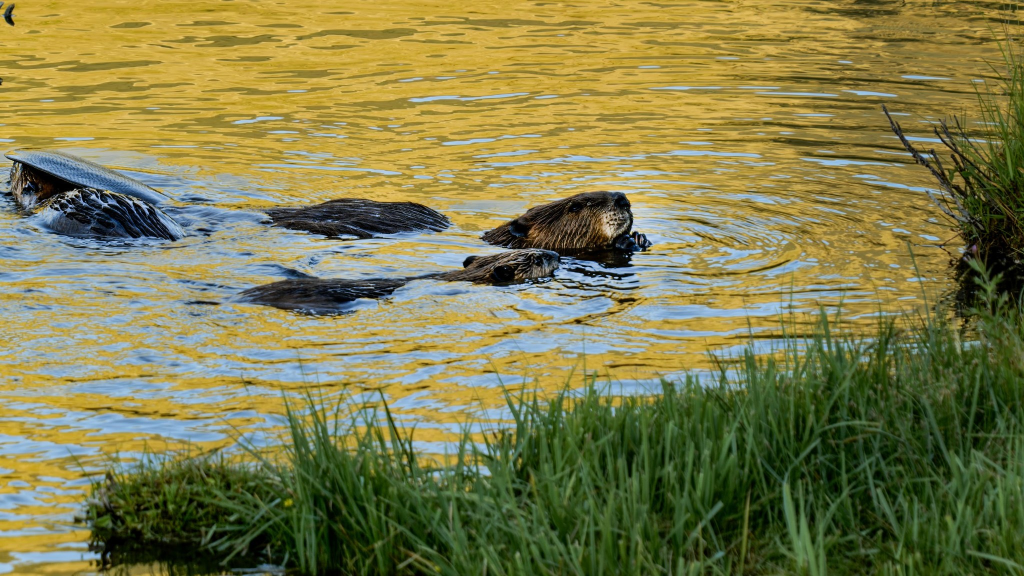
Humans aren't the only mammals working to mitigate the effects of climate change in the Western United States. People there are also enlisting the aid of nature's most prolific engineers - beavers. Using NASA-provided grants, two open-source programs from Boise State University in Idaho and Utah State University in Logan are making it possible for ranchers, land trust managers, nonprofits, and others to attract beavers to areas that need their help.
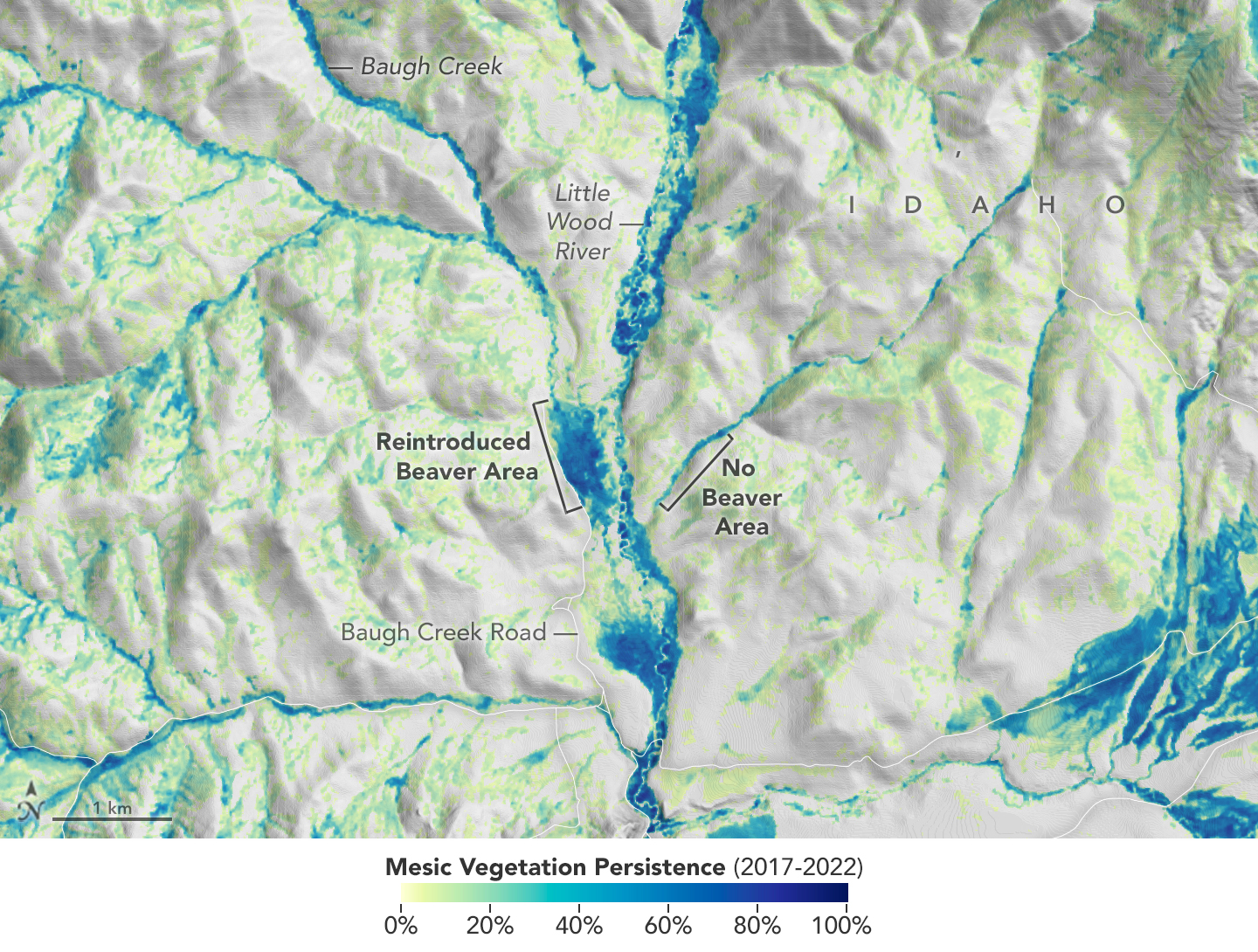
The Beaver Restoration Assessment Tool (BRAT) created by Utah State University uses data from satellites built at NASA's Goddard Space Flight Center in Greenbelt, Maryland, to identify areas that need restoration and would benefit from beavers' dam-building abilities. The Boise State University Mesic Resource Restoration Monitoring Aid (MRRMaid) program, which also uses satellite data, monitors the areas over time. Both efforts are also supported by NASA's Research Opportunities in Space and Earth Science program and the agency's Applied Sciences' Ecological Conservation program.
Once a site is chosen, program staffers and landowners begin to take measures to attract beavers, or the teams may relocate them from other areas. Either way, once on site, these semiaquatic builders get to work building and maintaining dams to create the ponds. The ponds help to retain water, including runoff from snowmelt and rainstorms, that would otherwise rush through the area, causing erosion and degrading the surrounding ecosystems.
Over time, these new ponds raise the water table, support wetlands that attract more wildlife and fish, and restore native plants to the ecosystem. Beaver dams can help ranchers improve water availability on their property, supporting their operations.
In addition to being beautiful and supporting the local ecology, these moisture-rich environments can limit wildfire damage with a barrier of healthy vegetation resistant to burning. When human infrastructure is nearby, a built-in leak or other interventions by humans can be added to control the water level, preventing floods that cause property damage.
As a restoration site's health improves, MRRMaid and BRAT use NASA satellite data to monitor those changes and analyze how the beavers benefit the ecosystem in drought-stricken areas. Community leaders can use this information and the living examples of restored sites to build new parks and recreational areas and plan future restoration projects with their furry collaborators.


