Colac Otway Shire's new Road Management Plan 2025-2029 provides a clear framework into how Council manages more than 1,600 kilometres of public roads.
Councillors voted to adopt the Road Management Plan at their July Meeting, following a period of public consultation.
The Road Management Plan sets standards for how Council manages and maintains roads and road-related infrastructure.
This includes how often roads and paths should be inspected, and how quickly different types of road issues should be addressed.
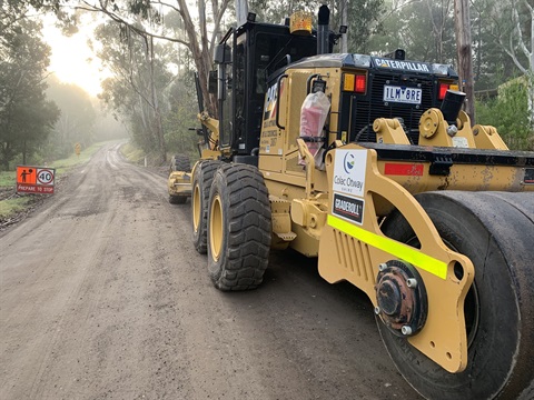
Council is responsible for 566 kilometres of sealed roads and 1,059 kilometres of unsealed roads as well as drainage, footpaths, rail trails, bridges, parking areas and other road-related infrastructure.
Infrastructure and Environment General Manager Doug McNeill said the new Plan put a strong focus on proactive inspections and maintenance.
"Importantly, while the Plan ensures compliance with the Road Management Act, its purpose goes beyond meeting legislative requirements, Mr McNeill said.
"It reflects Council's commitment to providing a safe and reliable road network, delivered within the limits of available financial and operational resources.
"Our community values safe, high-quality roads and paths and we're dedicated to maintaining a road network that meets the needs of our residents and visitors.
"We aim to spot road defects early, minimising maintenance costs while ensuring safer, smoother roads," Mr McNeill said.
The new Road Management Plan includes illustrations of the types of road issues that require intervention.
The plan is available on Council's website.


