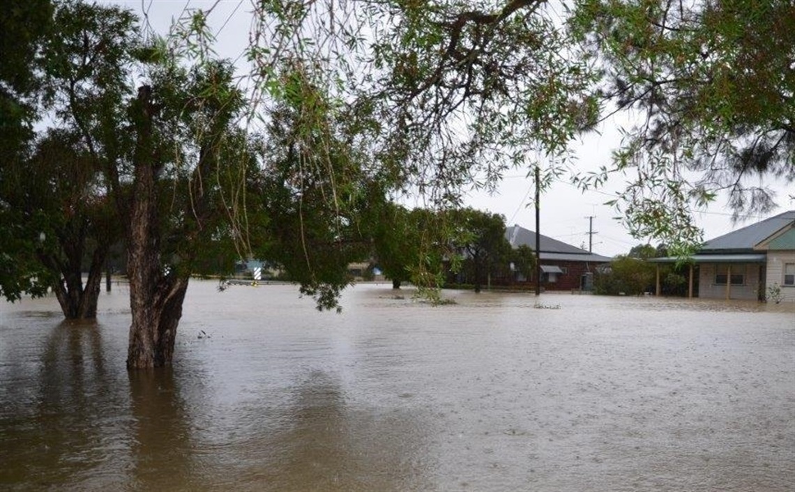
As storms continue to lash eastern NSW, Cessnock City Council are taking an active role in floodplain management and its impact on local residents.
The draft Cessnock City Wide Flood Study 2021 is now on public exhibition. The draft study provides flood data for the entire local government area. It will enable residents and property owners to know and understand the impact of flooding in their area, especially when buying and developing land.
Council's Infrastructure Manager, Katrina Kerr said this is an important step forward providing new data and adding to our knowledge of flooding in the area.
"In November last year the draft study was on public exhibition. Since then we've made improvement using broader parameters in the flood modelling. The draft study now identifies riverine flood affected land in a 1 in 100 year event so that flooding from a natural watercourse is mapped."
"The flood modelling applied in the study used the Australian Government definition of flooding which is used by many large insurers. The draft study ensures access to clear information for property owners or potential purchasers about flood impacts on properties."
Cessnock City Mayor, Councillor Bob Pynsent welcomed more clarity around the flood impacts on the entire Cessnock Local Government Area (LGA).
"Previous to this draft study there were gaps in existing data and now all residents will have access to information about flood levels on properties across the LGA vital to informing their decisions when buying and building."
"Council takes an active role when it comes managing floodplain risk for our community. We commissioned the flood warning system at Wollombi Brook last year. In the recent flood event this made a big difference to how emergency services and residents responded. We will continue looking at ways we can assist and support residents during emergencies."
Council is currently working on two flood mitigation projects in South Cessnock and Heddon Greta. Both projects involve diversion of flood waters around flood affected properties."
Residents wanting to find out the flood impacts on their own property according to the draft study can use Council's online mapping system.
To view the study, provide feedback or use online mapping tool visit our Have your say section. Public exhibition closes on Friday 7 May 2021.


