Land surface temperature (LST) plays a critical role in the study of physical and biological processes of the Earth's surface at global and regional scales. It is widely used in fields such as meteorology, climate, hydrology, agriculture, and ecology.
Global spatiotemporal continuous land surface temperature dataset was released at the National Tibetan Plateau/Third Pole Environment Data Center, according to researchers from the Aerospace Information Research Institute (AIR), Chinese Academy of Sciences (CAS).
The study, led by Dr. ZHAO Tianjie from the State Key Laboratory of Remote Sensing Science of AIR, was recently published in Scientific Data.
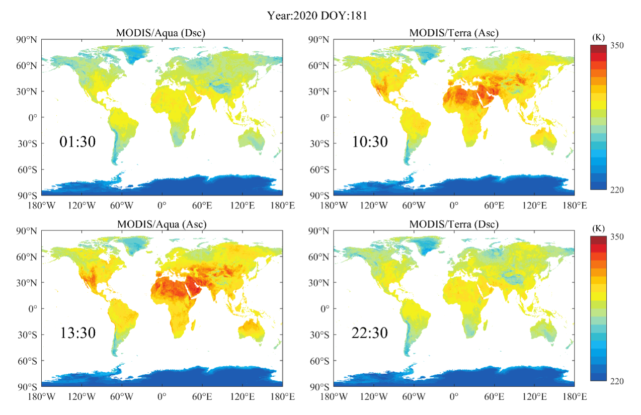
The dataset is based on the data interpolating empirical orthogonal functions (DINEOF) method and the cumulative distribution function (CDF) matching method. The main input data are Terra/Aqua MODIS LST products and ERA5-Land reanalysis data.
The method makes full use of the spatiotemporal information of satellite (thermal infrared) remote sensing LST products and the spatiotemporal continuity of reanalysis data to alleviate the influence of atmospheric conditions such as clouds on the estimation of LST, and finally reconstructs a high-quality global spatiotemporal continuous LST dataset.
The temporal resolution of this dataset is four times a day, the spatial resolution is 0.05°, and the time span is from 2002 to 2020.