Eastern NSW, particularly southern parts of the coast can expect a cold front to cross NSW during Thursday bringing a cooler southerly change, which looks set to remain in the region through the weekend.
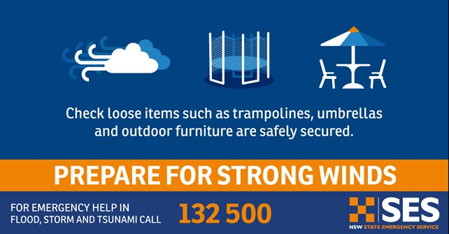
Cool southerly winds will develop across most of the state from Thursday, with daytime temperatures around 5 degrees cooler than average in many areas by Friday, and wind chill making conditions feel even colder. Coastal areas are expected to see strong winds develop, with gales also a possibility.
Showers are forecast for the eastern half of NSW on Thursday, particularly about the ranges and western slopes, as the cold front moves through. From Friday, most showers or rain should be confined to areas nearer the coast, particularly south of about Newcastle, as the low becomes dominant.
Snow showers are forecast for the Alps and southern ranges above about 1,200 metres, with the chance of a dusting on higher parts of the central ranges during Friday.
Seas and swell will increase during Friday and are likely to create hazardous conditions for coastal activities.
Over the next few days, people who live along the south coast of NSW should follow the Bureau for advice about the impending weather conditions and check all current warnings at the Bureau of Meteorology