A higher than normal tide first floods the two blocks adjacent to Roger Gendron's street in Hamiton Beach, Queens. Then it crests the curbs and sidewalks, flows through yards and fills his road, Davenport Court, and stays there. A berm at the end of the street, between the road and Jamaica Bay, traps the water, sometimes through another two or three tide cycles.
"These are the nuances someone like myself and others - we know because it's our neighborhood," said Gendron, 63, a lifelong resident of Hamilton Beach, president of the New Hamilton Beach Civic Association and self-taught flood monitor and forecaster for the 450 households in his community. "Nobody knows the neighborhood better."
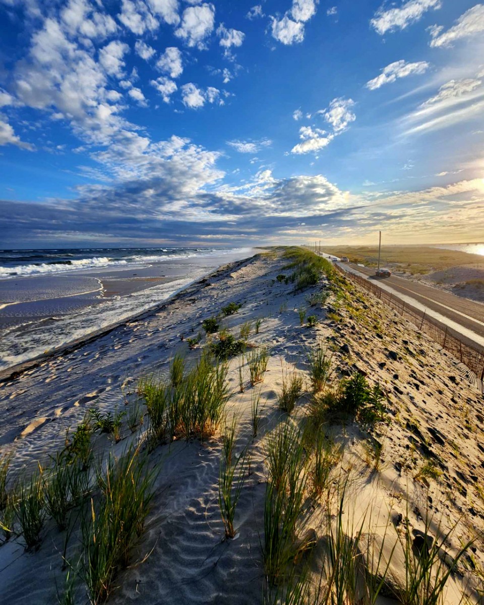
In August, the aftereffects of Hurricane Erin brought six inches of flooding to Dune Road in Hampton Bays, New York, part of the service area for Ryan Murphy, public safety and emergency management administrator for the Town of Southampton on Long Island.
But in the past, Gendron's on-the-ground knowledge didn't always make it to policymakers, weather forecasters or municipal managers responsible for responding, in real-time and over the long-term, to increasingly intense flooding. New York Sea Grant (NYSG), a cooperative research and extension program housed at Cornell and the State University of New York, has been working for years to change that, by giving New York residents - roughly 90% of whom live along lakes, rivers, streams or the ocean - the tools to understand, document and communicate the flood and storm conditions where they live.
Since 2020, this effort has included the funding, vetting and rollout of the MyCoast New York app, which allows users across the state to upload photos of flood conditions and storm damage that can then be used in storm response and for future planning and forecasting. With funding and partnership from Cornell's New York State Water Resources Institute (NYSWRI) and the National Sea Grant Office, NYSG began testing and adapting the app, developed by Blue Urchin, for New York, and introduced it to communities in 2022. In the three years since adoption, the data has improved emergency planning and response, educated and empowered communities and has even changed the National Weather Service's (NWS) approach to forecasting in the Hudson Valley. By 2024, more than 1,800 photos - of both current and historic flooding, storm damage and a changing shoreline - were uploaded from 26 counties.
"The flood risk really is increasing all across the state," said NYSG's Jessica Kuonen, Hudson Estuary resilience specialist, who has been leading the rollout of MyCoast. "We're seeing heavier downpours and bigger storms, we're seeing places that didn't used to flood but now are, and people are capturing increased frequency as well. Some of our existing datasets that are used to inform infrastructure or planning don't always capture this new reality."
According to the state's hazard mitigation hub, MitigateNY, $8.5 billion in residential properties could face chronic flooding by 2045, and $95 billion by 2100. MyCoast provides residents with a sense of community and agency, and data they can use to advocate for their needs as risks increase and patterns change.
"MyCoast and ultimately Sea Grant, because they're the ones behind it, are invaluable," Gendron said. "Because now I can say: I'm not making it up. It's not a story. It's not a fairy tale. In the aftermath of Sandy, it was just us talking. But MyCoast and other tools have given us a way to document. Now it's a history book that we're creating."


