An historically important site containing the remains of some of the earliest examples of watermills in NSW has been recognised for its state significance by the NSW Government.
Heritage NSW Executive Director Sam Kidman said the Singleton Watermills Archaeological Site in Kurrajong was now listed on the State Heritage Register.
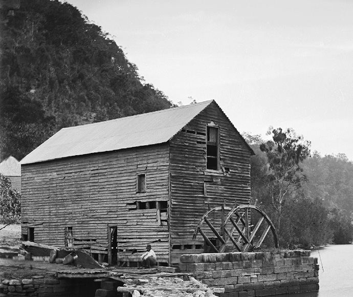
"This is a fascinating site, containing the remains of 2 watermills constructed in the early 1800s," Mr Kidman said.
"The watermills are an example of early technology that had great importance to the new colony, by efficiently grinding grain locally and helping to secure the food supply.
"Strong community interest and local knowledge supported this nomination."
Singleton in the Hunter Valley is named after Benjamin Singleton, and his brothers Joseph and James, who built the two watermills at Kurrajong in the early 1800s.
The Singleton brothers assisted with pioneering watermilling in early colonial NSW and opened trade between the Hawkesbury and the Hunter regions. The mill stones they used there are rare in Australia today.
Two surviving mill stones from the site can be seen at Kurrajong Memorial Park and these are also protected by the State Heritage Register listing.
Hawkesbury City Council Mayor Councillor Patrick Conolly said council had been researching the site along with the Kurrajong-Comleroy Historical Society over the past decade.
"We are very excited about the state heritage listing," Mr Connolly said.
"The site has the potential to reveal even more information regarding local Aboriginal culture, the development of watermilling and associated trade and travel routes of the Hawkesbury region."
Darug Custodian Aboriginal Corporation representative Erin Wilkins said the site was originally known as Merroo (derived from muru meaning pathway in the Dharug language), and there is evidence of travel at sites along Little Wheeny Creek.
"As Aboriginal people, we cannot look at sites and their use in isolation. Being able to map the sites will create a better understanding of the landscape, its use and importance to story and history," Ms Wilkins said.


