In light of the recent floods, Kempsey Shire Council has moved to ensure the latest flood modelling is reflected in local development planning.
Following the adoption of the Kempsey CBD Floodplain Risk Management Plan, Council is proposing to amend the Kempsey Development Control Plan 2013 to incorporate the flood information and recommendations made in the plan.
The revised chapter, Flood Hazard Area Management, is designed to ensure new development in the Kempsey CBD area adopts the latest flood modelling to minimise the risk to people and property and boost community resilience during and after flood events.
The amended plan has been placed on public exhibition, giving the community the opportunity to provide feedback on the proposed changes.
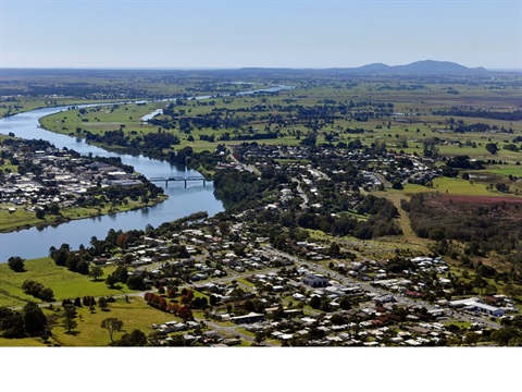
The Kempsey CBD area covers approximately 7331 hectares of the Macleay River Catchment, from upstream between Aldavilla and Sherwood to downstream at Austral Eden and east to Frogmore. It includes the townships of Aldavilla, Euroka, West Kempsey, Kempsey, East Kempsey, South Kempsey, Frederickton, Red Hill, Frogmore and part of Austral Eden.
The draft chapter and new flood planning mapping will be on exhibition on Council's website from 1 to 29 June 2021.


