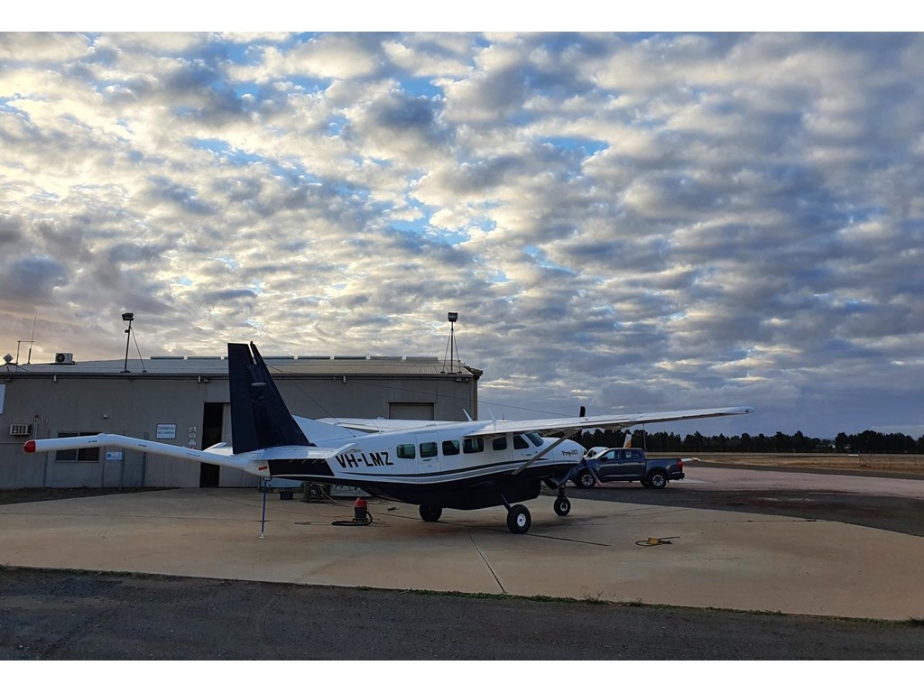
A specialised surveying aircraft is in the sky in one of the world's richest mineral provinces in the State's north west to collect new geophysical data that will help uncover the next hotspot for mineral projects.
Resources Minister Scott Stewart said the airborne magnetic and radiometric survey will cover a 6,000 sq km area 150 kilometres north of Mount Isa in the area around Kamilaroi.
"High resolution geophysical data is key to making new discoveries in Queensland, and the Geological Survey of Queensland is targeting areas that have the highest potential," Mr Stewart said.
"New mineral discoveries, data and exploration are key to unlocking new projects which will create jobs which is a key part of Queensland's economic plan for recovery.
"As part of the survey data is captured by a fixed-wing aircraft flying about 60m above the ground along flight lines spaced 100m apart.
"Once captured, the data is combined to produce a series of high-resolution maps that show the magnetic intensity and natural concentrations of radiogenic elements present on the surface.
"This is an important tool that allows explorers to map geological rock types and geological structures at the surface level and to significant depths undercover.
"Geophysical surveys also help explorers to see through soil cover to the prospective geology underneath increasing the search space for minerals.
"Geological understanding gained from the surveys help to fill in critical gaps in Queensland's knowledge of the geology in the region and help give industry further confidence to invest in new exploration opportunities."
Mr Stewart said the North West is rich in minerals with global demand increasing due to advances in technology and renewable energy.
"The survey has the potential to open up exploration for new economy minerals such as copper and cobalt in previously under-explored areas," Mr Stewart said.
"This survey is the fifth in a series of high-resolution surveys, covering more than 40,000km2, that have been conducted in the area to update the original data that was collected in the early 1990's.
"The data collected from the survey will be made available to all geophysicists, explorers, researchers and the public for free to download from the GSQ Open data portal website."
To ensure the surveys do not inadvertently interrupt local activities such as mustering, GSQ has contacted local landholders and other parties to let them know the aeroplane will be in the area collecting geophysical data.
The airborne surveys are being delivered under a suite of initiatives as part of the state's New Economy Minerals Initiative.


