
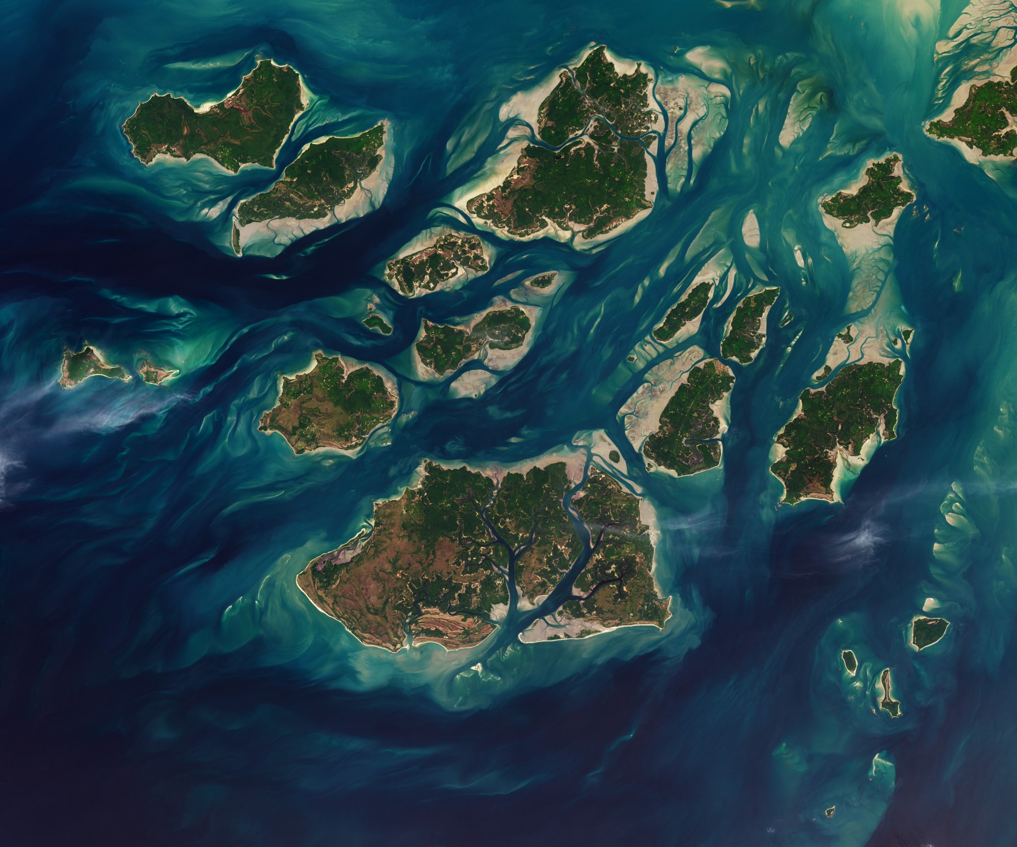
NASA/Lauren Dauphin, USGS
Twice each day, tides ebb and flow through a maze of sandy channels, mudflats, and mangrove forests that flank the 88 islands and islets of Guinea-Bissau's Bijagós Archipelago (Arquipélago dos Bijagós in Portuguese). Seen from above in this image from Nov. 28, 2025, the process leads to stark changes to the landscape: around low tide, intertidal mudflats and sandflats emerge from the sea, causing islands to grow significantly before shrinking again hours later.
/Public Release. This material from the originating organization/author(s) might be of the point-in-time nature, and edited for clarity, style and length. Mirage.News does not take institutional positions or sides, and all views, positions, and conclusions expressed herein are solely those of the author(s).View in full here.


