Council is asking landowners to help map plants and wildlife on private properties throughout the Yarra Ranges, with assessments being run when restrictions ease.
Council's Biodiversity Investigations Team is looking for landowners to take part in an ecological assessment of properties, which will inform a plan for the region.
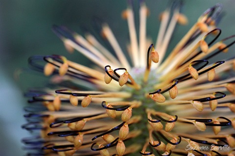
Director of Environment and Infrastructure, Mark Varmalis, said the Yarra Ranges was full of biodiversity, with many species calling private land home.
"We have an incredibly beautiful, thriving and inter-connected environment here, with many different species of flora and fauna – some of which can only be found in Yarra Ranges," he said.
"Privately-owned land makes up about 30 per cent of the land in Yarra Ranges and this land already plays an important part in the biodiversity of the region through vegetation and animal habitat.
"We're hoping to run ecological assessments, primarily around the kinds of vegetation on private land, with interested landowners, so we know what plants, animals and ecological communities exist on private land – this will all inform our next Biodiversity Strategic Plan.
"The plan will map out Council's actions on protecting and enhancing the native environment in Yarra Ranges – including what we do on public land and how we help other levels of government and community members improve the land they manage.