King tides will be experienced in Cairns from Thursday 27 January and will continue through to Thursday 5 February.
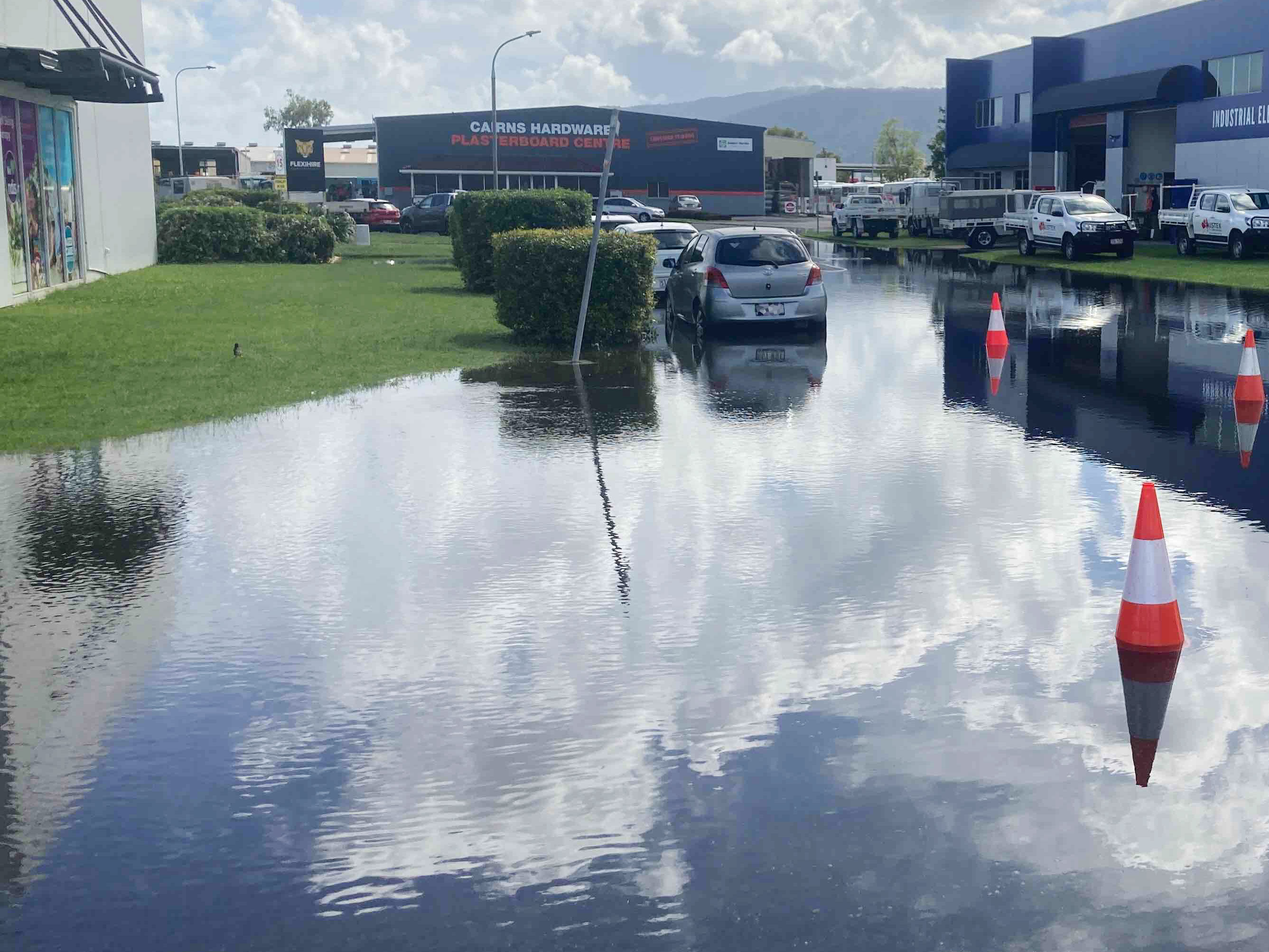
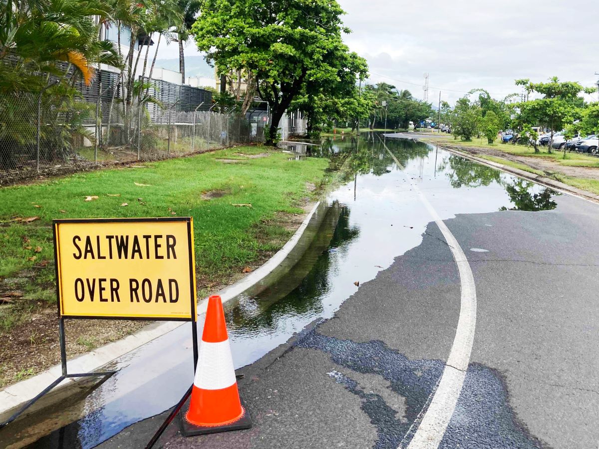
Low-lying areas, roads, and properties can be inundated with saltwater during king tides, potentially damaging vehicles and infrastructure.
The impact of king tides on low lying areas can be exacerbated by heavy rainfall.
 King tide levels
King tide levels for Cairns are expected at the following times (other areas may vary):
- Thursday 29 January: 3.03m at 7.14am
- Friday 30 January: 3.26m at 7.58am
- Saturday 31 January: 3.42m at 8.33am
- Sunday 1 February: 3.48m at 9.17am
- Monday 2 February: 3.44m at 9.52am
- Tuesday 3 February: 3.31m at 10.24am
- Wednesday 4 February: 3.09m at 10.55am
- Thursday 5 February: 2.82m at 11.24am
The latest advice from the Bureau of Meteorology suggests there could be an extra 10cm on predicted tides in Cairns, and an additional 10-20cm on the tides at Palm Cove.
Salt water flooding
Tidal flooding is saltwater, which can damage cars on contact.
Avoid parking cars in low-lying tidal areas and never drive through floodwaters.
Motorists should drive carefully and slowly, not only for the safety of road users and pedestrians, but to lessen the impact of bow waves, which can push water into nearby properties.
Council may close roads which are inundated by tidal flooding to prevent damage to private property.
Motorists are required to adhere to signs advising the road is closed and should find an alternative route until the road is reopened.
 Affected streets
Streets that are most likely to be impacted by king tides include:
- Redden St, Portsmith
- Tingira St, Portsmith
- Liberty St, Portsmith
- Walters St, Portsmith
- Trawler Base Rd, Portsmith
- Bramp Cl, Portsmith
- Cook St, Portsmith
- Fearnley St, Portsmith
- Parts of Aumuller St (near Comport St), Portsmith
- Toohey St, Portsmith
- Knight St, Portsmith
- Palmer St, Portsmith
- Hartley St, Portsmith
- Hasell St, Portsmith
- Parts of Draper St (Hartley St to Kenny Street), Portsmith
- Spence St and the Esplanade intersection, Cairns City
- Corner of Lily St and the Esplanade, Cairns North
Residents should also monitor the Bureau of Meteorology website for general information related to tide heights.


