
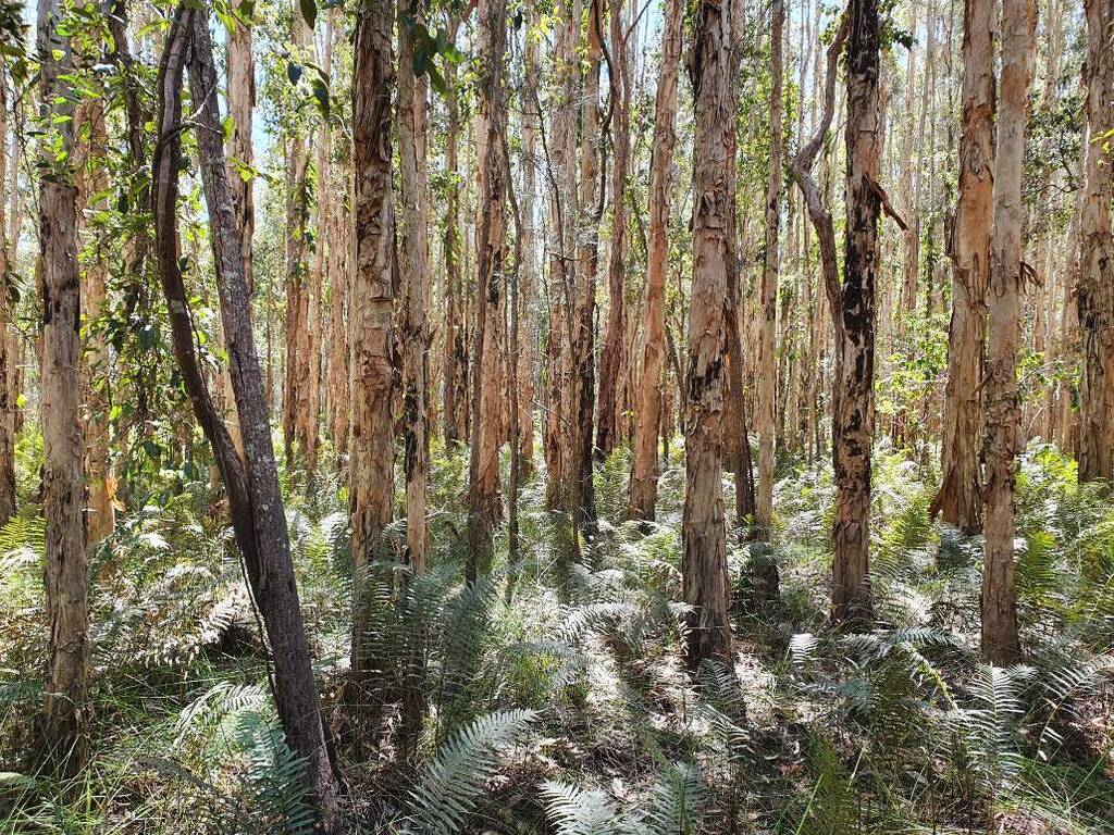
Conservation zones will be applied to areas of high environmental value across the Tweed.
A planning proposal now on public exhibition aims to update the way land zoning is used to protect our natural environment.
Tweed Shire Council is inviting feedback until Friday 28 August 2026 on a proposal to apply Conservation zones (C zones) to land of high environmental value across the Tweed Coast – the first major update to the region's environmental zoning maps in almost 4 decades.
Zoning for environmental protection is not new, having been part of the Tweed's Local Environmental Plans since the 1980s. The current zoning needs is based on old information and needs to be updated to reflect NSW planning requirements, Council's adopted planning requirements and modern data.
Community support for the work is clear: in the 2024 survey for the Tweed Community Strategic Plan 2025–2035, 80% of respondents said protecting the environment was important to them.
Naomi Searle, Council's Director Sustainable Communities and Environment, said the review was an important step in ensuring zoning reflects current community needs and environmental priorities.
"Protecting the natural environment is critically important in the face of increasing impacts from climate change," Ms Searle said.
"As communities grow, zoning maps need to be reviewed and updated to meet our changing needs. This ensures a sustainable pattern of development into the future."
C zones will apply to land with significant environmental value, such as habitat for threatened species, endangered ecological communities, littoral rainforests, coastal wetlands and riparian vegetation.
Due to the scale of the project, it is being delivered in stages. The current Stage 1A Tweed Coast covers most private and public land east of the Pacific Motorway, as well as Cobaki, Tweed Heads West, Banora Point, Chinderah and parts of Bilambil Heights and Terranora. Future stages will apply to the remainder of the Tweed Coast and to Stage 2 Tweed Hinterland.
Three-hundred and sixty-three private properties are included in Stage 1A and all affected landowners are being notified by mail and asked to provide their feedback. C zones proposed on private land are confined to areas of native vegetation often in steep, swampy or isolated locations.
Importantly, C zones can only be applied where environmental conservation or management is the primary use of the land. Land that is actively farmed, or primarily used for residential or other purposes, is not eligible – even where environmental features are present. A C zone places no new obligations on landowners to manage their land in a certain way, and existing lawful uses and approvals are protected under existing use rights.
Ms Searle said Council was committed to getting the mapping right.
"We're encouraging landowners to consider Council's C zone methodology and review the updated zoning maps for their property, and tell us if it doesn't match what's on the ground. During the exhibition, our staff are available to answer questions, meet one-on-one, and with the landowner's permission, visit properties to verify the attributes of the land."
Community members can explore the proposal, view the mapping and have their say at yoursaytweed.com.au/czones


