- Curiosity Home
- Science
- News and Features
- Multimedia
- Mars Missions
- Mars Home
3 min read
Written by Catherine O'Connell-Cooper, Planetary Geologist at University of New Brunswick
Earth planning date: Wednesday, July 23, 2025
For today's planning, we were in the same workspace as the Monday plan - on purpose! We don't often have a plan without a drive but in order to allow the battery to recover from some power-hungry SAM atmospheric measurements over the weekend and on Monday, we needed to stay put and skip our usual drive. As a result, we gained a bonus planning cycle at this interesting workspace.
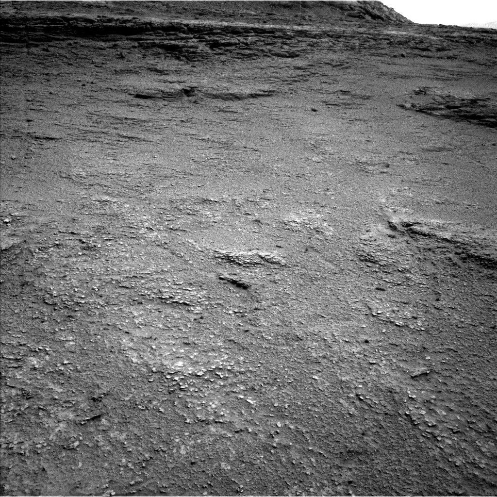
We are in one of the "hollows" between the resistant ridges of the "boxwork" terrain, as you can see in the image for this blog. This made for a quieter Operations day for me as the APXS planner. As Deborah noted in Monday's blog, we have already gotten three APXS and MAHLI measurements in this workspace, so we didn't acquire more in this plan.
This morning, we focused on documenting some small light-toned, rounded, white pebbles in the workspace (you can see them in the accompanying Navcam image), which look very different from the underlying bedrock. We used our one ChemCam LIBS analysis for the plan on "Yana Qaqa." Mastcam will image this pebble, another at "Ojos del Salado," and a really cool-looking target with a dendritic-looking texture at "Punta de Lobos."
Further afield, Mastcam will image the adjacent boxwork ridge and hollow in our drive direction, and a series of troughs with raised edges to the right of our current workspace. ChemCam will image a long-distance RMI mosaic of "Cueva de los Vencejos y Murciélagos," which was imaged by Mastcam on Monday, and also acquire some further images of the "Mishe Mokwa" hill.
We had a bumper couple of sols of atmospheric measurements over the weekend and Monday. Now we revert back to our more normal environmental and atmospheric monitoring. These do not get as much attention sometimes as the amazing images we take of the fascinating rocks we see, but have been taking place consistently and continuously since Curiosity's landing almost 13 years ago now. This plan includes a series of Navcam movies (suprahorizon, dust devil) and a line-of-sight observation of dust, standard REMS and DAN observations, and two Mastcam tau measurements, looking at dust in the atmosphere.
Our 24-meter drive (almost 79 feet) will take us out of this hollow and back up on top of a ridge. From here, we hope to be able to spy the best driving path through the boxwork. The ridges are up to 5 meters in diameter (about 16 feet), so we are cautiously hopeful that we can just trundle along one of the ridges as we investigate this fascinating terrain.


