B. Hayes/NIST
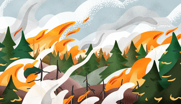
Severe wildfire disasters are often the product of numerous factors - vegetation, drought, a lack of firefighting resources, and many others - coalescing.
Identifying which factors are the most important is not always a simple task for local leaders assessing their community's risk for damaging wildfires. And the lack of a standard approach means different municipalities employ different methods of evaluating wildfire hazards, making relative comparisons between communities a challenge.
A solution may lie in a community fire hazard evaluation framework developed by researchers at the National Institute of Standards and Technology (NIST) that is featured in a draft of an update to the California Fire Code (pages 187-194), now available for public comment through Oct. 18, 2021. By specifying high-priority information for community leaders to collect and consolidate, the framework will serve as a tool for improving planning and emergency response. If applied broadly, it would also help officials at the county and state level gain a better idea of which communities are most in need of support.
The need for a common approach for assessing what experts call wildland-urban interface, or WUI, fire risk was perhaps never more clear than in the aftermath of the 2018 Camp Fire. By nearly leveling the town of Paradise and wreaking havoc in nearby communities, this perfect storm of a fire obtained the title of both deadliest and most destructive wildfire in California's history.
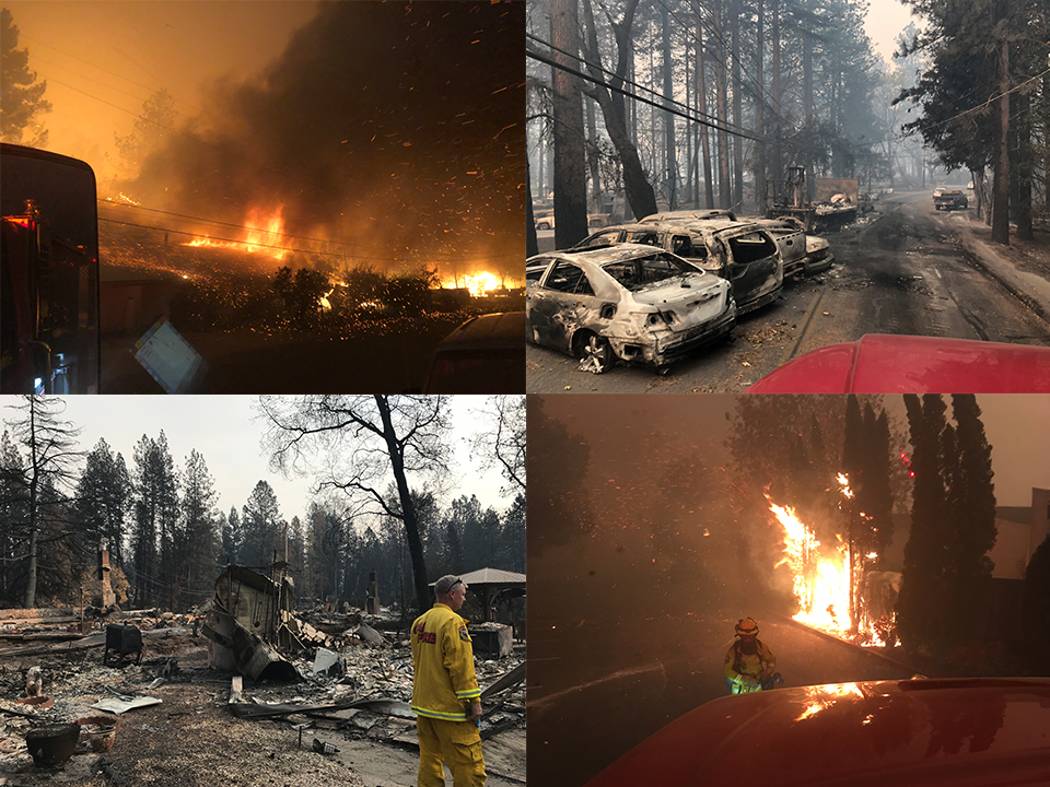
NIST (bottom left), Copyright Technical Discussion 005 from NIST Camp Fire Report (bottom right), Copyright Technical Discussion 205 from NIST Camp Fire Report (upper left), Copyright Technical Discussion 041 from NIST Camp Fire Report (upper right)
"Once the fire happened and we saw the extent of the devastation, within days the question was posed, Can this happen again? How many other communities find themselves in similar situations?," said NIST fire protection engineer Alexander Maranghides.
Apples-to-apples comparisons between communities are a necessity to answer those questions. And to make fair comparisons, communities would need to evaluate their fire hazards using the same scale. Maranghides and his colleagues built a scale into the framework, taking its ingredients from their findings across three completed studies of WUI fires and their ongoing study of the Camp Fire.
The framework, initially published in NIST's report on the Camp Fire's progression timeline, lists 23 factors with notable influence on wildfire severity and also the kinds of relevant information local officials could track for each factor. The diverse lineup spans community traits such as weather patterns, evacuation capacity, firefighting capability, and types and amount of vegetation.
Bringing all the often disparate information together could reveal critical insights during planning. For instance, it may be valuable for those working on evacuations plans to know about the density of vegetative fuels along egress routes.
"This framework would enable discussions between people in areas that don't frequently overlap," Maranghides said.
It becomes an even stronger tool when applied with NIST's Camp Fire report in hand, Maranghides said. As part of NIST's study, Maranghides and his colleagues collected more than 2,200 data points describing various facets of the event, including the preparation and conditions of Paradise prior to the fire. Within the Paradise dataset, local officials could potentially spot similarities with their community and identify weaknesses in their own plans.
Many of the data types that the framework refers to can be incorporated into digital maps. For firefighters and other emergency responders, maps that highlight points of interest, say, hazardous fuel depots, would be handy tools. And emergency services arriving from out of town that are less familiar with the lay of the land might find this kind of information even more useful, Maranghides said.
If employed by enough communities, the framework could help provide policymakers with a more detailed understanding of wildfire risk and preparedness across the state. And that new perspective could guide decisions about where to deploy resources.
Down the road, Maranghides said, he hopes the tool crosses state lines and finds its way into the fire codes of other areas where wildfire seasons are already a regular occurrence or where the changing climate is creating conditions that increase wildfire risk.
Individuals and organizations wishing to comment on the NIST framework in the fire code update can submit their input through California's Department of General Services.


