The NSW National Parks and Wildlife Service (NPWS) will conduct hazard reduction burns in Pilliga East State Conservation Area and Pilliga Nature Reserve from Tuesday 9 May, weather permitting.
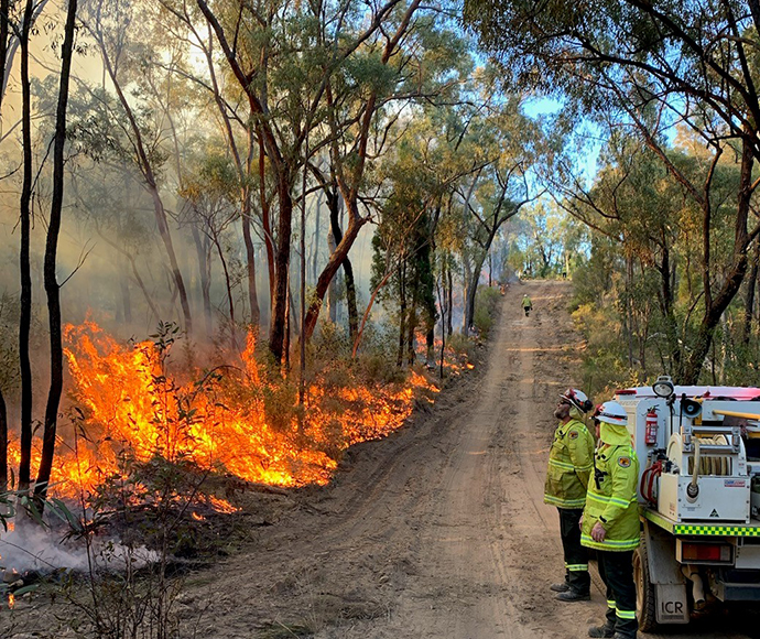
The planned burns are located in the Pilliga forest about 50 km south of Narrabri and will treat approximately 3,200 hectares over 7 days.
NPWS is taking advantage of favourable forecast weather to reduce fuel loads in the area and to create a large fuel-reduced fire break on the eastern edge of the Pilliga Forest along Scratch Road.
Sections of the Pilliga East State Conservation Area will be closed during the burning operation. Visitors should check NPWS Alerts for up-to-date information on closures.
Smoke may be visible near Willala and Goolhi.
Anyone vulnerable to smoke is encouraged to remain indoors and keep doors and windows closed to reduce any possible exposure.


