Medny Island, discovered by Europeans in 1741, is part of the Commander Islands in the Bering Sea. It is uninhabited and is a part of a protected biosphere, a unique place where plants and animals from the Red Book have been preserved. Irina Chilchigesheva, a postgraduate student in the Faculty of Geology and Geography, used GIS technologies to create the first-ever large-scale digital landscape map of Medny Island. containing data on soil, relief, and flora and fauna of the island.
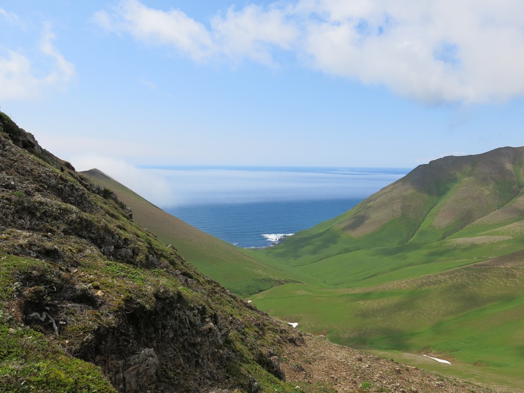
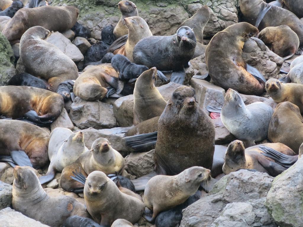
- Medny, along with Bering Island, is one of the largest objects in the Commander archipelago, - says Irina Chilchigesheva. - From the end of the 19th century to the second half of the 20th century, Aleuts, who founded the Preobrazhenskoye village, lived here, but in 1970 they all moved to Bering Island. Medny is interesting because it is the habitat of many rare animals. On its rocks there are bird colonies, also there are rookeries of marine mammals on the beaches, so in summer scientists come here to study the unique flora and fauna.
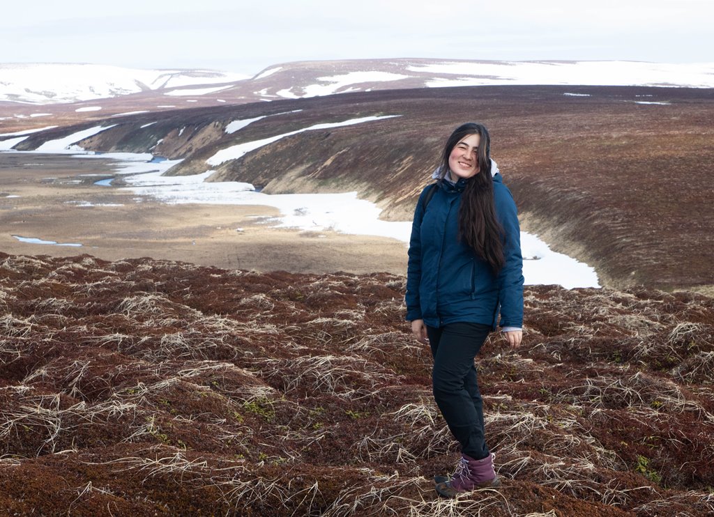
Although Medny was discovered by Europeans almost three centuries ago, there was no large-scale landscape map of the island until recently. This gap was filled by Irina Chilchigesheva, who took two years to collect information for drawing up a map, including a month that she lived on the uninhabited island, collecting data on its landscape features and traversing far and wide.
- Mountainous relief prevails on Medny, so the island looks very picturesque. It attracts tourists, but few people manage to get there, - says Irina Chilchigesheva. - Along the coast, sheer cliffs are hanging over the sea; boulders, deep gorges, and waterfalls are often found. With a colleague from the reserve, we conducted orthophotomaps of key areas using drones and collected other data that were included in the electronic map.
In addition to landscape photography, at the stage of working on the map, the graduate student created electronic databases with information about the flora, fauna, relief, and soils of the island. This data is connected with the map and appear as balloon help.
The GIS technologies that were used to create the interactive map are one of the priority directions developed by the Faculty of Geology and Geography for 25 years. The scientists actively collaborate in this area with their colleagues from the Tokyo Metropolitan University. One of the new products developed by the Russian-Japanese group is a simulation model that shows in real-time the process of flooding a settlement and offers the safest escape routes.
- The existence of landscape GIS for Medny Island is important both for planning environmental protection measures and for conducting research related to climate and environmental change, - explains Vadim Khromykh, the scientific supervisor of the graduate student. - It is these ecosystems that are undisturbed by humans that are very well suited for studying the natural dynamics and evolution of landscapes. This work has special importance and prospects because of the outlined eastern vector of research by the StrAU TSSW (The Trans-Siberian Scientific Way). Such a large-scale map with reference to various information databases will enable monitoring ecosystems in the unique biosphere preserve.