
Aerial view of the Rhone river in Geneva. © EPFL/LAST/N. Sedlatchek.
Architects at EPFL have developed a new, multi-criteria evaluation method to support better decision-making for the redevelopment of brownfield sites in Geneva, Sion and elsewhere along the Rhone.
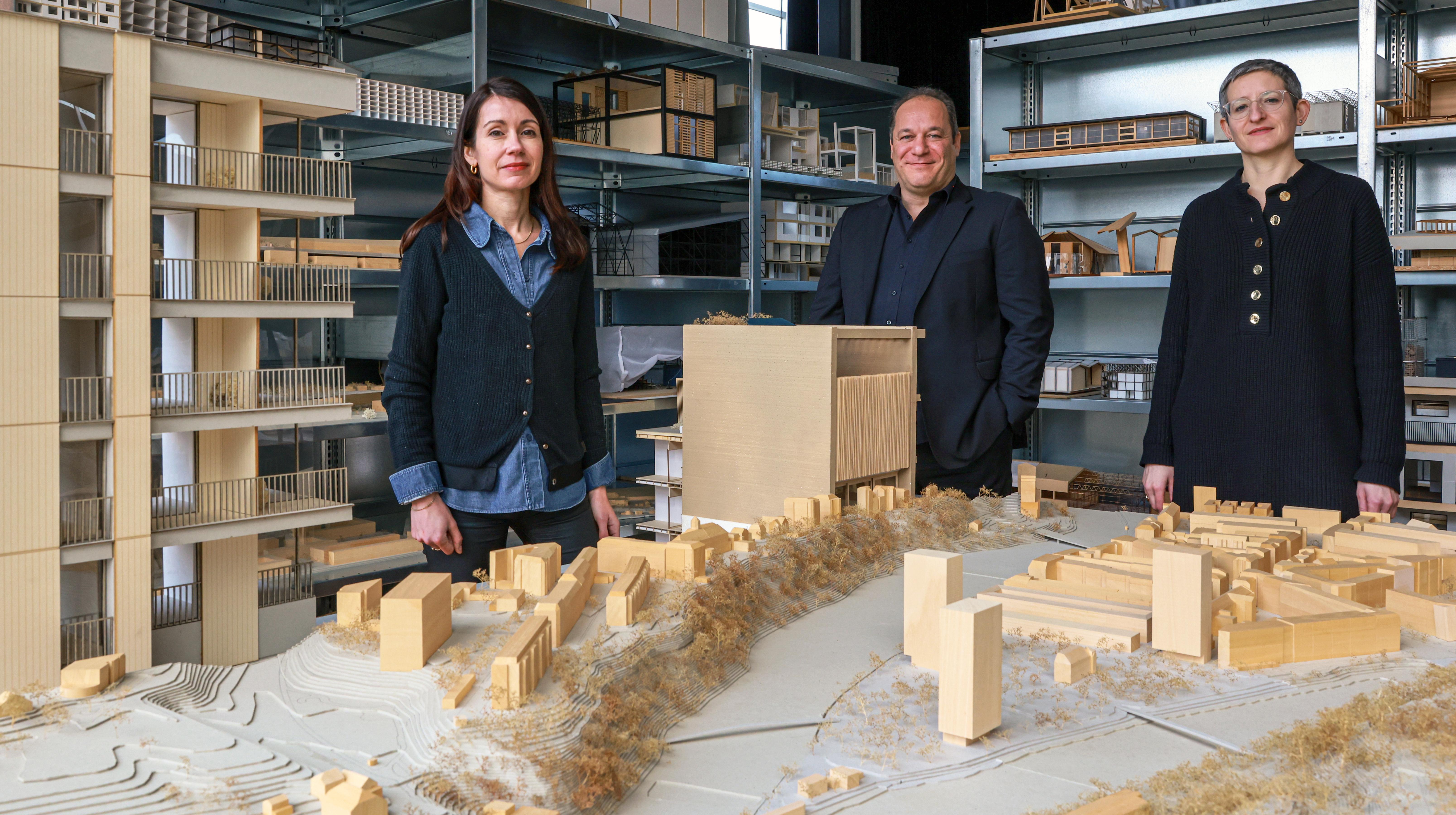
The banks of the Rhone are home to acres of urban land ripe for redevelopment. A new paper by architects at the Laboratory of Architecture and Sustainable Technologies (LAST), within EPFL's School of Architecture, Civil and Environmental Engineering (ENAC), puts forth an evaluation method that could help policymakers and practitioners identify the planning priorities and constraints specific to these sites. The study, dubbed Rhodanie Urbaine, is led by Emmanuel Rey (head of LAST), Martine Laprise, and Sara Formery, who carried out the research as part of her PhD thesis. Their most recent findings appear in City and Environment Interactions.
Why did the architects choose the Rhone specifically? "We've identified more than 1,400 neighborhoods in transition along its banks, covering a combined area four times the size of the city of Geneva," explains Rey. "This offers enormous potential in terms of brownfield development." Moreover, there's growing tension between competing demands along the river: climate change is pushing flood protection measures higher up the agenda, while riverside communities are crying out for high-quality housing and urban infrastructure fit for modern lifestyles.
Age of reconciliation
According to the architects, we've entered an "age of reconciliation" in the city-river relationship. In ancient times, people lived close to rivers, using them for transportation and as a source of natural resources. In the Middle Ages, communities tended to move away from the water's edge and build fortifications on higher ground. At the height of the industrial age, rivers were prized for their utility, with infrastructure and factories springing up along their banks. Today, however, industry has severed its ties with waterways, leaving these parcels of land underused or abandoned altogether.
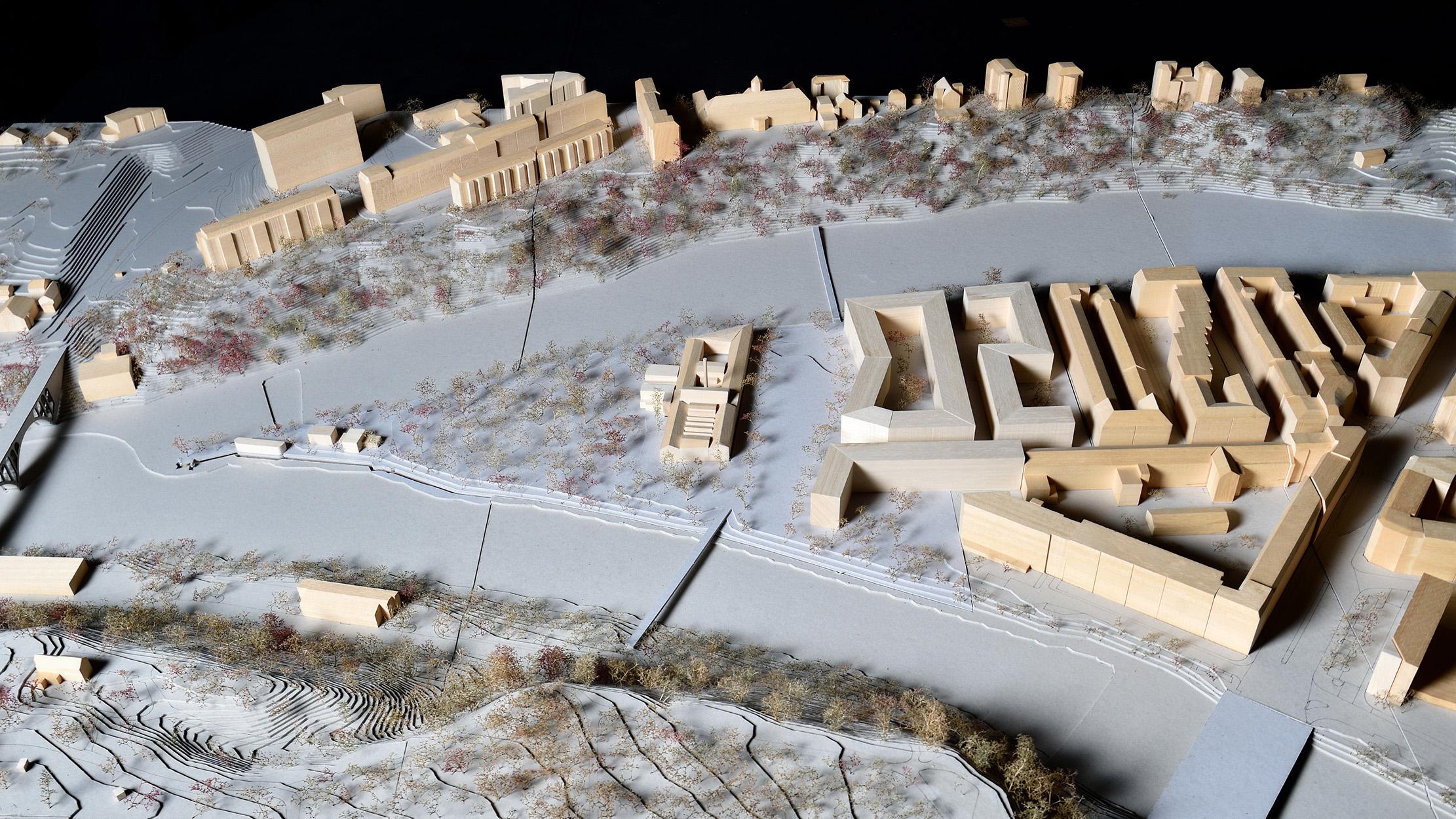
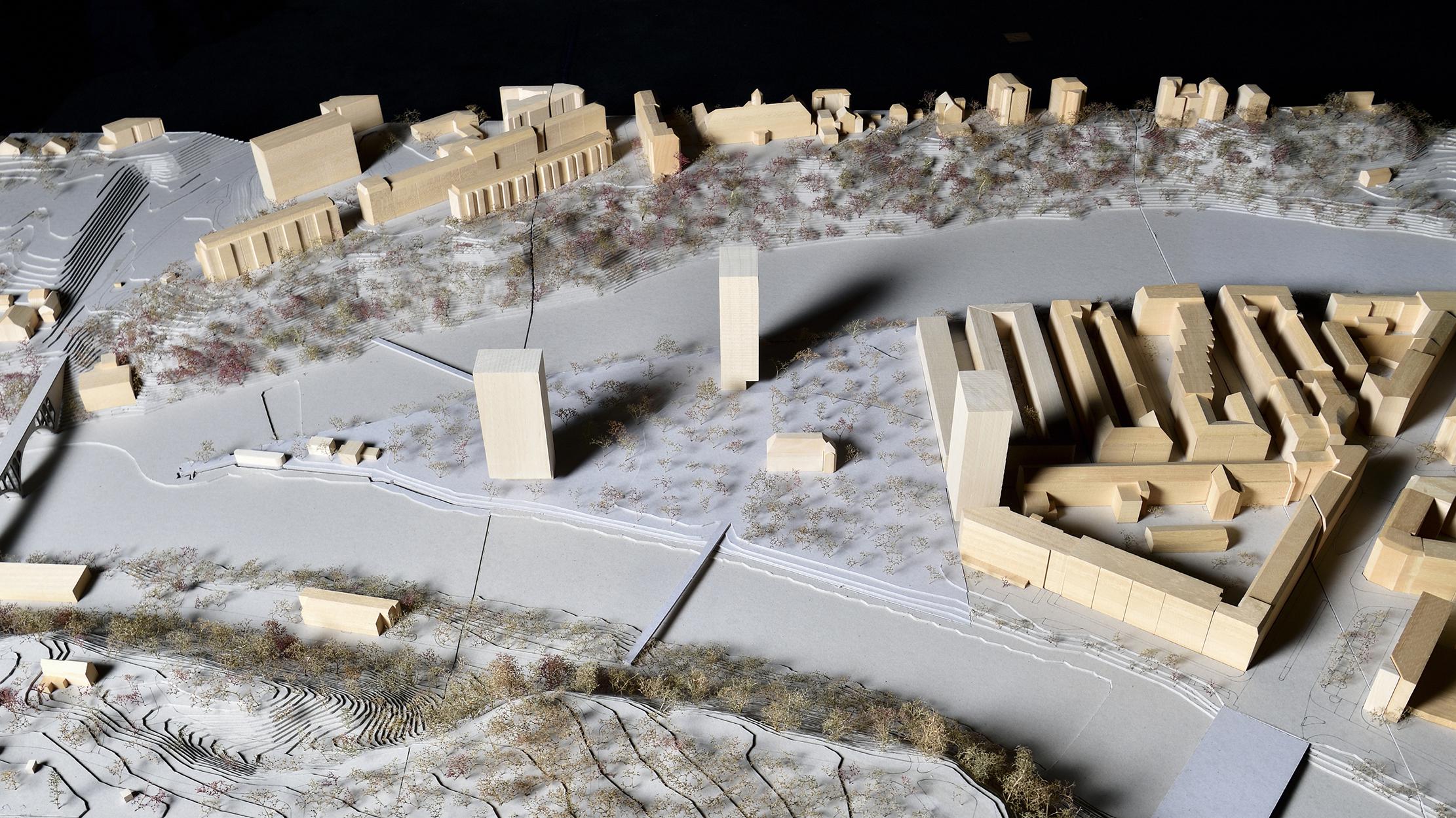
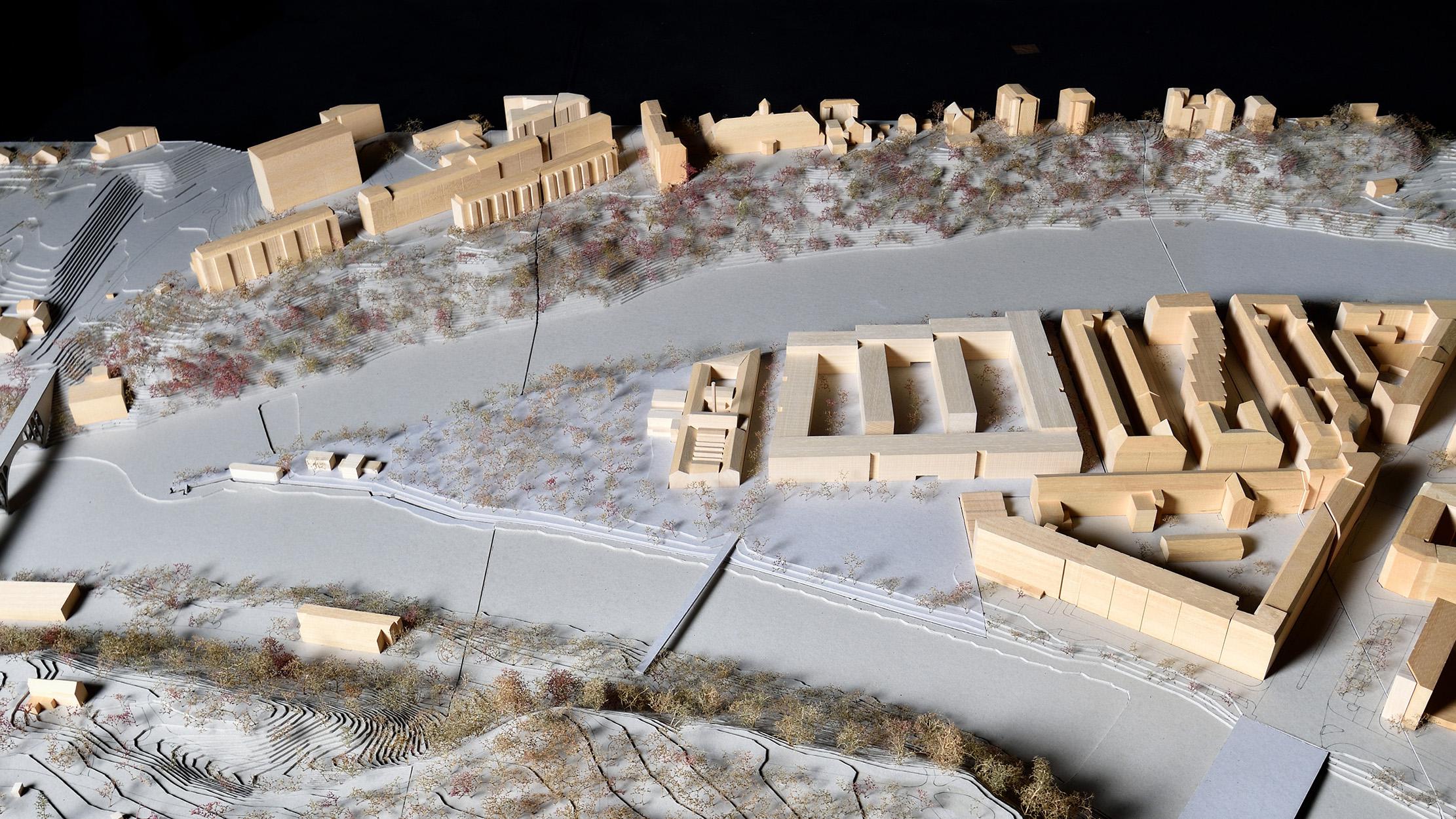
For their study, the architects identified four locations of interest: two in Switzerland (in Sion and Geneva) and two in France (in Givors and Avignon). The Sion site, located between the train station and the highway, stands in an area earmarked for redevelopment under a recent planning request for proposals. The Geneva site, meanwhile, is situated in the La Jonction district. It features a former factory now used as a cultural center, plus a depot owned by the Geneva public transport operator.
"Most research of this kind looks at urban areas as a whole," says Rey. "Our approach is different in that we tackle urban development and planning issues on a smaller scale, focusing on individual riverside neighborhoods. This lets us explore more possibilities and think beyond established practices. One way we're doing this is by building bridges between research and teaching." Over the course of the four-year study, around 30 second-year Bachelor's students in architecture developed detailed proposals for the four sites. "We then reworked the proposals at a series of summer workshops, coming up with three visions of what each neighborhood could look like in the future," adds Rey. "Our resulting plans are custom-designed for each site, reflecting deliberately different architectural approaches."
An array of evaluation criteria
The architects applied their evaluation approach, which involves using indicators to compare distinct proposals, to each of the three visions. Formery explains: "We started with sustainability criteria, focusing in particular on lifestyle and environment-related issues." She then spoke with subject-matter experts and delved into the literature to identify other criteria for shaping a new city-river balance, spanning topics such as flood-risk management, the energy transition and environmental dynamics.
The resulting decision-support tool, which contains 18 indicators in total, can be used to evaluate planning proposals at different scales. Taking the energy transition indicator as an example, it can show whether a particular vision for Geneva's La Jonction district is consistent with the canton's overall strategy. At the city scale, it can be used to evaluate plans for shuttles, pedestrian bridges and other river transportation aspects. And at the neighborhood level, it provides insight into carbon neutrality proposals, such as whether river water could be used to heat or cool buildings.
"Our tool provides a more granular, decidedly local picture of what opportunities the river offers and how it interacts with the city," says Rey. "In this sense, it makes the case against generic planning."


