Central Goldfields Shire Council is taking proactive steps to enhance community safety and resilience by proposing a Planning Scheme Amendment to update flood-related planning controls across Maryborough and surrounding townships.
The amendment aims to implement the findings of recent flood studies, ensuring that land use and development decisions are informed by the latest and most accurate flood modelling, including climate change projections.
The Council will seek consent from the Minister for Planning to prepare this draft amendment and undertake community consultation.
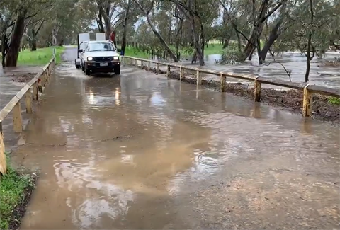
Council has obligations under Victorian legislation, which place responsibility and a duty of care upon all councils to appropriately plan for and manage flood risk.
The amendment, informed by the Central Goldfields Entire Mapping Project and the Maryborough Flood Study, will seek to introduce or amend overlays to delineate areas of high, medium, and urban overland flow flood risk, providing transparency for more than 5600 properties in Maryborough, Talbot, Timor, Bowenvale, Bealiba, Moliagul, Bet Bet, and surrounding rural areas.
Flood overlay mapping for the townships of Carisbrook and Dunolly have already been implemented as part of amendment C31 in 2021.
The amendment is important work for settlement and community planning for these townships and rural areas. The new flood study data improves the accuracy of our flood mapping. It ensures current and future property owners are provided with accurate information when considering development, and in the design of buildings to minimise flood damage.
After Ministerial consent is granted, the draft Planning Scheme Amendment C44cgol will be released for public consultation through various channels, including individual landowner letters, community sessions, local media, and the Council's engagement website. Community input will help to ensure the updated controls best serve the community.


