1 min read
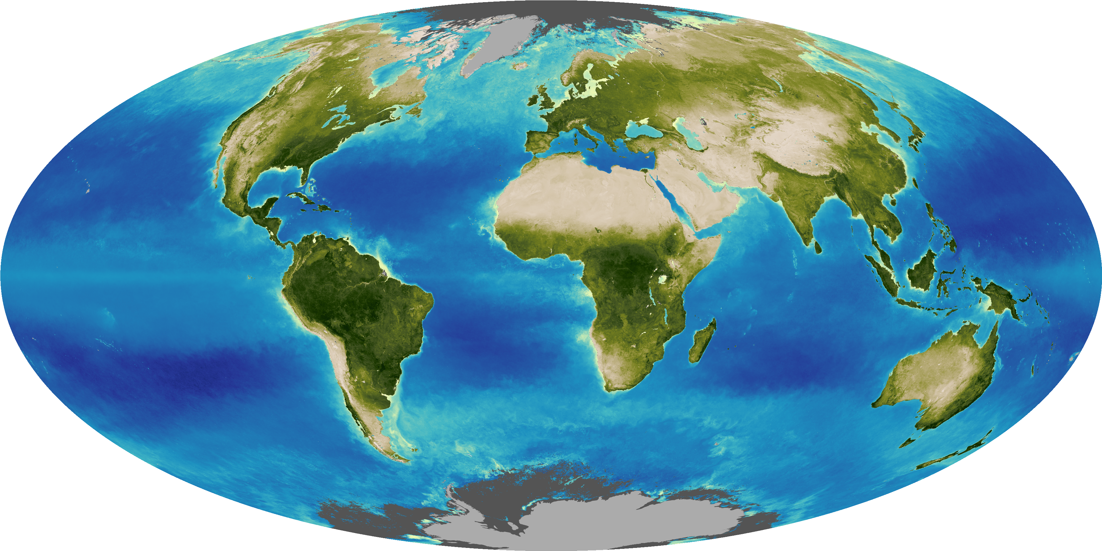
NASA uses satellite lidar technology to study Earth's forests, key carbon sinks. The GEDI mission maps forest height and biomass from the International Space Station, while ICESat-2 fills polar data gaps. Together, they enable a first-of-its-kind global biomass map, guiding smarter forest conservation and carbon tracking.
Details
Last Updated
Jun 17, 2025
Editor
Earth Science Division Editorial Team
Related Terms
Explore More
Keep Exploring
Discover More Topics From NASA
/Public Release. This material from the originating organization/author(s) might be of the point-in-time nature, and edited for clarity, style and length. Mirage.News does not take institutional positions or sides, and all views, positions, and conclusions expressed herein are solely those of the author(s).View in full here.


