The Advanced Urban Remote Sensing Workshop (AURSW) was held in a hybrid mode on HKU Main Campus on 3-4 December 2022, jointly organised by the Department of Geography, The University of Hong Kong (HKU), IEEE Geoscience and Remote Sensing Society (GRSS), and IEEE GRSS Hong Kong Chapter. The workshop was co-chaired by Professor Peng GONG, Vice-President and Pro-Vice-Chancellor (Academic Development) of HKU, and Professor Qihao WENG, Chair professor of The Hong Kong Polytechnic University (PolyU).
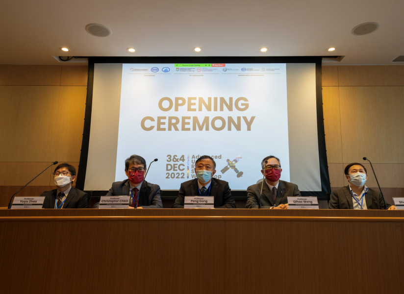
At the opening ceremony, five welcome speeches were given by Professor Guanhua XU, former Minister of Science and Technology of China, Professor Peng GONG, Vice-President and Pro-Vice-Chancellor (Academic Development) of HKU, Professor Christopher CHAO, Vice president (Research and Innovation) of PolyU, Professor Qihao WENG, Chair professor of PolyU, and Professor Anthony G.O. YEH, Chair Professor of Faculty of Architecture, HKU.
HKU is the home of urban remote sensing, and has a long history of having distinguished and renowned scholars in this field. Back in the early 1970s, Professor Chor Pang LO, one of the world's pioneers in the field of urban remote sensing, after receiving his doctoral degree from the University of Glasgow, had been teaching and studying urban remote sensing at the Department of Geography in HKU. Thanks to Professor LO's leading research, HKU has been one of the bases with international impacts in urban remote sensing since the 1970s.
This workshop aims to introduce the status, development, advances, opportunities, and challenges in urban remote sensing and establish a platform for high-level exchange between academics, industrials, professionals, and practitioners for participants engaged in the community of urban remote sensing and relevant disciplines.
Eight keynote speeches were delivered by Professor Karen SETO from Yale University, Professor Qihao WENG from PolyU, Professor James VOOGT from Western University, Professor Xia LI from East China Normal University, Professor Hannes TAUBENBÖCK from German Aerospace Center, Professor Paolo GAMBA from The University of Pavia, Professor Shunlin LIANG from HKU, and Professor Yuyu ZHOU from Iowa State University. In addition, two technical sessions chaired by Dr. Bin CHEN from HKU and Dr. Wei YAO from PolyU and a Remote Sensing Youth Forum chaired by Mr. Keran WANG from the United Nations Economic and Social Commission for Asia and the Pacific were organized. The event has attracted more than 140 participants, including 90 in-person and 50 online participants, from 34 universities, institutes, and government departments, worldwide.
The organisation committee, co-chaired by Dr Hongsheng ZHANG from HKU, and Professor Jun LI from China University of Geoscience (Wuhan), is grateful for the support from all participants and the supporting organizations, including the Urban Systems Institute (USI), Institute for Climate and Carbon Neutrality (ICCN), HKU, the Department of Land Surveying and Geo-Informatics (LSGI) and the Research Institute of Land and Space (RILS), PolyU, the IEEE GRSS Guangzhou Chapter, and The International Society for Urban Informatics.


