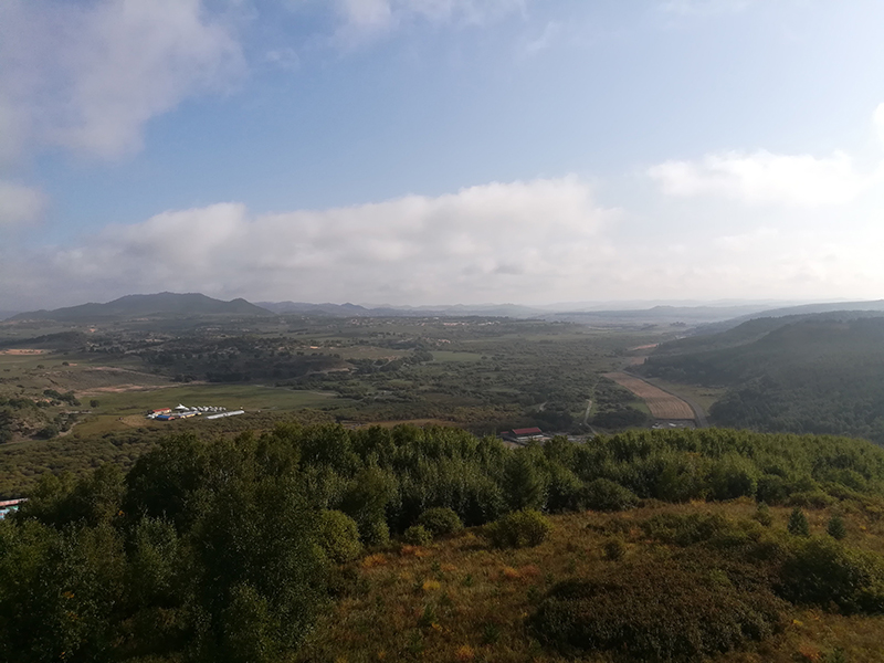
This region of northeastern China was a sandy desert 50 years ago. Today the region contains hundreds of thousands of acres of forests. (Photo provided by Jingjing Liang)
Spatial database achieves high-resolution detail
WEST LAFAYETTE, Ind. – An international team led by Purdue University scientists has created the first spatial database of planted forests in East Asia by combining data collected on-site and via satellite. Produced with the assistance of artificial intelligence, the database contains forest location maps at a resolution of one kilometer (six-tenths of a mile) and lists the most common tree species growing there, such as pine and eucalyptus.
The Food and Agriculture Organization of the United Nations (FAO) estimates that East Asia holds 36% of the world's planted forests. Africa, meanwhile, has 19%; Europe, 7%; and the United States, 9%. Within East Asia, 87.0% of planted forest is in China, followed by 11.1% in Japan, 1.0% in South Korea and 0.9% in North Korea.
Previous maps of East Asia's planted forests covered only parts of the region spanning China, Japan, North Korea and South Korea. And the data sources for those maps are inconsistent and unverified.
"We used an AI approach to help us understand a massive amount of data, measured both from the ground and also from remote-sensing sources," said Jingjing Liang


