Lancaster University's Hazelrigg weather station has experienced its wettest July since records began at the site in 1967.
A total of 224.9 mm of rain fell during July - an amount more than 2.5 times the average of 87.3mm. This exceeds the previous wettest July at the site, recorded in 2007, by almost 40 mm.
Sunshine totals were below average, but only by 13% and there have been considerably duller Julys recorded at Hazelrigg.
The mean monthly temperature for July was equal to average - though under all the cloud and rain, the daytime temperatures were somewhat supressed while night-time values were slightly higher than average.
Dr James Heath, from the Lancaster Environment Centre and part of the team that takes daily weather readings at Hazelrigg, said: "The contrast with June's record-breaking hot and sunny conditions is essentially down to the position of 'blocking' high pressure systems, which deflect rain-bearing low pressure systems and the jet streams which drive them either to the north or to the south.
"For much of June, high pressure was positioned over or close to the UK, giving us lots of dry, sunny conditions, accompanied for a week or so by very warm southerly winds which, combined with the sunshine, gave the record-breaking high temperatures."
In contrast, during July, the high pressure has been centred over southern Europe and the Mediterranean region, giving the heatwaves seen there. At the same time, that has allowed the jet stream to become positioned much further south, steering Atlantic weather systems over the UK one after another.
"The high rainfall total for this July is therefore partly down to the persistence of that general weather pattern. But it is also down to some extremely intense individual rainfall events - for example, the weekend from the night of Friday 21st to Sunday 23rd saw over a month's worth of rain in one go," said Dr Heath.
"There is evidence that weather patterns are becoming more 'stuck' in a set position for long periods of time, though there is still some debate over whether that's directly linked to climate change. However, what is not in any doubt is that the frequency of extreme rainfall events - just like extreme temperatures - is increasing dramatically, and is entirely consistent with a warming world. Warmer air can hold more moisture; and when that rises and condenses into cloud and rain, this releases more heat, driving further convection and even more intense rainfall. Put simply, over the course of a year it's not raining on more days - but when it does, it often rains much more heavily," he added.
Previous wettest Julys at Hazelrigg:
2007 - 185.0 mm
2010 - 173.9 mm
2020 - 173.5 mm
1988 - 170.8 mm
2009 - 158.4 mm
Sunshine totals for the month:
Average - 173.0 hours
2023 - 150.3 hours
Temperatures (average daily maximum / minimum, °C):
Average - max 18.7 / min 12.1
2023 - max 18.0 / min 12.9
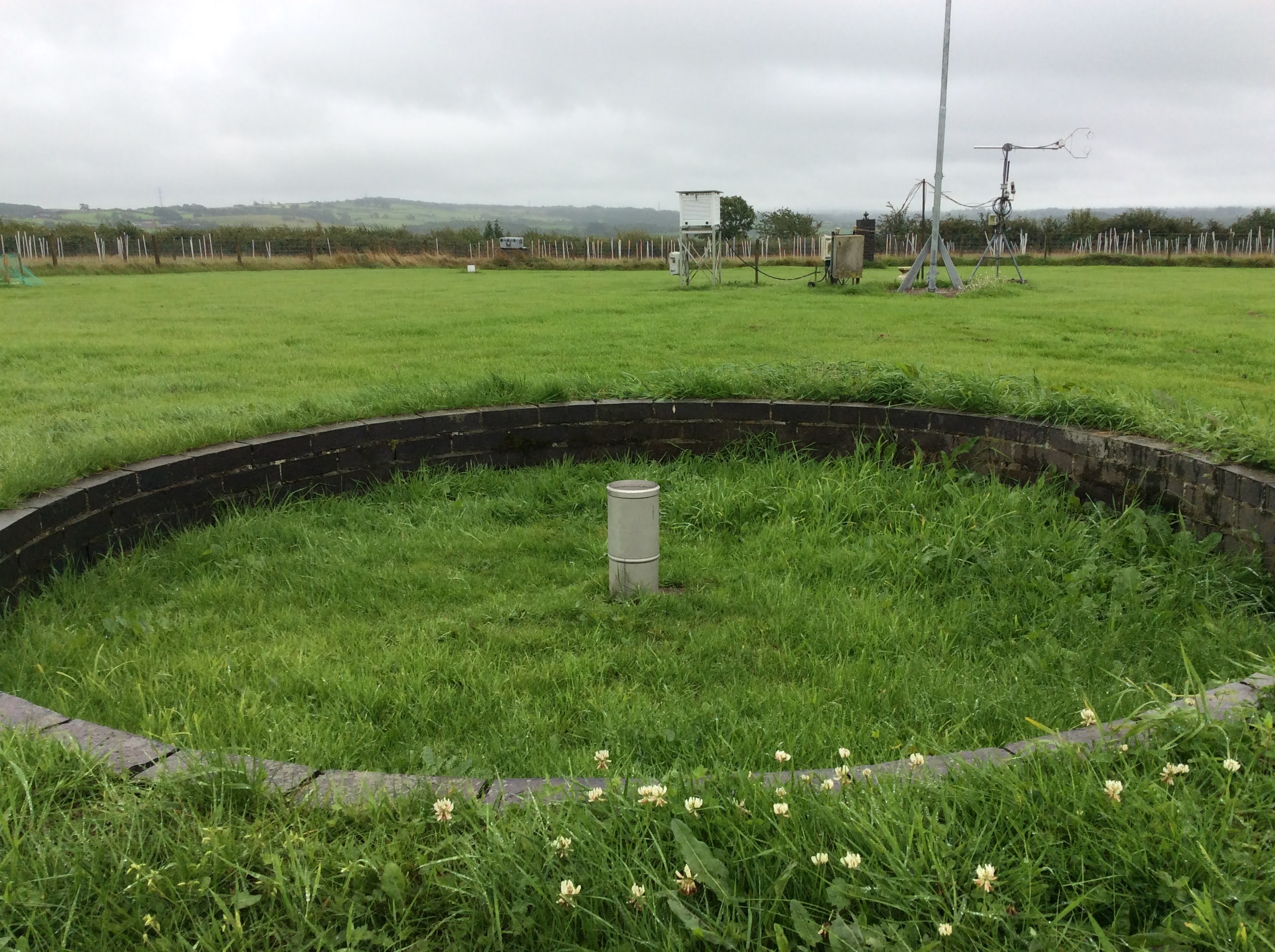
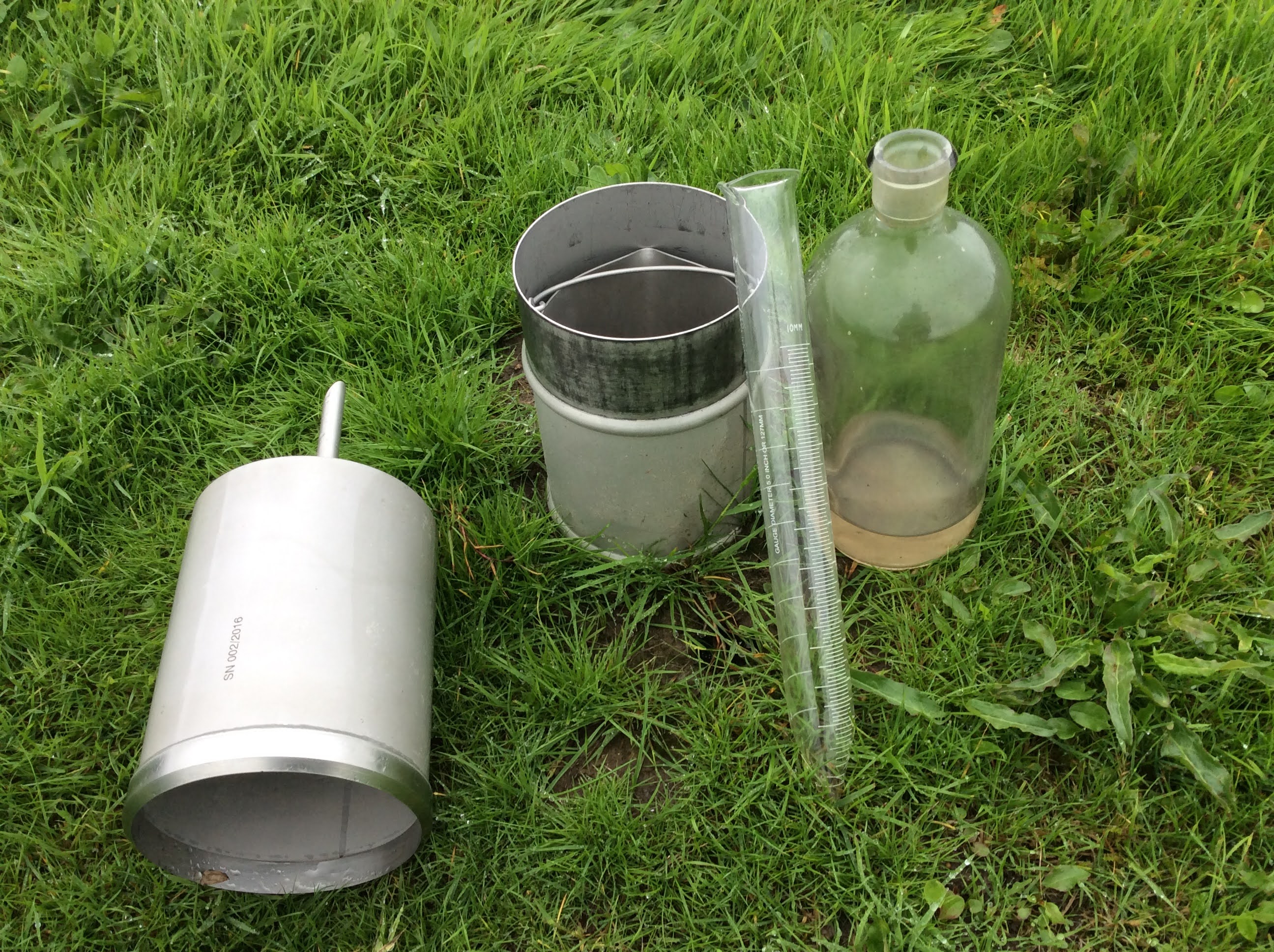
Rain gauge at Hazelrigg weather station


