New Australian-made positioning technology based on QUT research is set to compete with global brands in monitoring risk and safety of road bridges, high-rise buildings, dams and other major natural or constructed structures.
Kurloo is a Global Navigation Satellite System (GNSS) sensor with low-power wireless connection and cloud-based analytics capable of providing near-real-time surface displacement measurements at 3-millimetre precision.
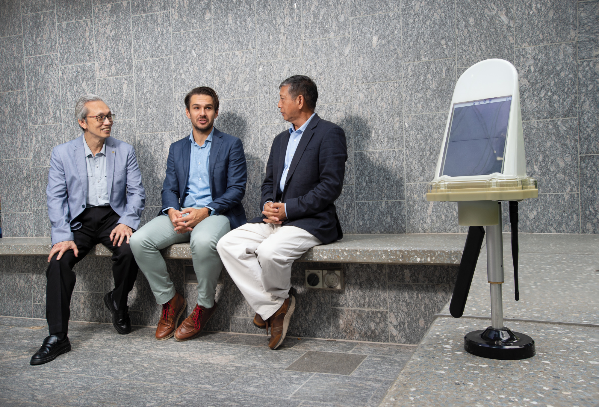
The new hardware and software products were developed in a three-year $4.5 million collaborative research project between QUT, Innovative Manufacturing Cooperative Research Centre (IMCRC), Brisbane-based survey and mapping company Monitum, and local manufacturer Intellidesign.
Lead investigator and spatial science expert, Professor Yanming Feng from the QUT Faculty of Science said the Kurloo GNNS system could be used by industries ranging from civil construction, transport, and environment to energy, mining, and oil and gas.
"Most people would be familiar with standalone GNSS navigation by smartphones and vehicle units, which can provide 5-10 metre position accuracy instantly – to tell you where you are on a map or roads," Professor Feng said.
"Professional applications such as drone operations, agricultural machinery automations, and surveying have been supported by manufacturers and government agencies offering various augmented GNSS positioning products and services for centimetre-decimetre positioning.
"Now, Kurloo can provide an accessible technology solution for millimetre precision position information in near real time to a wide range of industries and applications."
Displacement and settlement of support can be used as indicators of structural safety. Displacement of a structure is used as an indicator of stress, while support settlement will further affect developed structural stresses.
QUT co-investigator and structural engineering expert, Professor Tommy Chan from the QUT Faculty of Engineering said failing to fix problematic displacement or settlement early was the cause of most catastrophic failures.
"Engineers ensure displacement and settlement parameters are within structural design limits, but asset owners need to monitor them over time to ensure structural safety," Professor Chan said.
"Traditional displacement monitoring devices that need reference points are often impractical, especially over water, while levelling methods can be expensive and risky for surveyors on site.
"Once firmly attached to structures, the Kurloo devices deliver structural data wirelessly to the cloud where machine learning is used to interpret and report insights to asset owners for faster maintenance and other safety decisions."
As a spin-off company to Monitum, Kurloo Technology and its Kurloo positioning system will launch commercially to the Australian market in June 2022.
Monitum technical director Lee Hellen said research collaboration with QUT and the IMCRC had helped guarantee a supply chain to offer consumers an Australian made product in a market that was currently dominated by overseas competitors.
"Australia has often been a rapid adopter of new global positioning technology, which is currently dominated by large companies in North America, Europe, and China," Mr Hellen said.
"Now, we've created our own 5G-connectable smart device and cloud processing service that not only monitors surface displacement but supports geotechnical quantitative analysis automatically and remotely.
"Kurloo devices positioned within one kilometre of a Kurloo reference station and with a clear view of the sky could deliver daily surface displacement measurements of 3-millimetre precision in vertical and horizonal components.
"Clients will have access to these daily data readings and can customise alerts within the Kurloo Nest platform."
Mr Hellen said the lower price-point of Kurloo devices and its software-as-a-service (SaaS) for data processing, insights and Application Programming Interface (API) integration, also made critical displacement monitoring more affordable and accessible to a greater range of industries.
The IMCRC chairman, Hon Ian Macfarlane said the Monitum and QUT commercial outcome demonstrated the importance of research and development projects that focused on addressing real-world challenges.
"Throughout the collaboration, Monitum and QUT leveraged each other's strengths in geotechnical engineering and research to achieve mutually beneficial outcomes," he said.
"In doing so, they have delivered a product set to significantly benefit many facets of Australian industry, from infrastructure and construction to transport and mining."
The QUT research team comprised experts in GNSS, electronics, wireless networks, data science, structural health monitoring and geotechnical engineering.
QUT Vice-President (Business Development) Professor Mark Harvey said the partnership between QUT, IMCRC and Monitum demonstrated the mutual benefits of university-industry research collaborations.
"It's been a great partnership and the result is a commercially viable product that Monitum can take to the world," Professor Harvey said.
"For industry, especially small-to-medium enterprises, it can be daunting to invest in research and development partnerships.
"However, it can be as simple as starting the conversation. Approach universities with your idea, expectations, and timeframe, and go from there."