Logan City Council has resolved for Mayor Jon Raven to contact the Queensland Government to seek change on how rare and extreme floods are used in flood mapping.
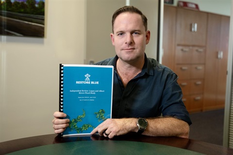
The decision was made at a Special Council meeting where the independent review into the Logan and Albert Rivers Flood Study was received.
Mayor Raven said the review highlighted an opportunity to remove rare floods, including the most extreme scenario known as the Probable Maximum Flood (PMF), from Logan's flood mapping while maintaining their role in emergency planning.
"The review backs up what the community told us through the Logan Plan consultation: that the inclusion of rare and extreme events in flood mapping creates alarm and isn't practical," Mayor Raven said.
"I'll be asking to meet with the Deputy Premier as soon as possible so we can work together to deliver a more practical approach for Logan residents and all Queenslanders."
When the flood maps were commissioned, Logan City Council complied with State Planning Policy requirements to include rare flood scenarios.
"We now have independent advice through this review, that is supported by the original authors of the flood study, to suggest a different approach is needed and I will use this to advocate for change," Mayor Raven said.
"I'll be asking the State Government to let us remove rare and extreme events from our flood mapping so we can achieve a more balanced outcome for the community."
The independent review found the flood study was developed using accepted national standards and industry practices, and identified two key technical factors influencing results:
- The first technical factor related to very old flood events (from 1887 and 1947 before gauged records) which were not included in the modelling. The review found that if they were included it could lead to lower modelled flood levels in some areas, noting these findings are preliminary.
- However, the review also noted that any reduction in modelled flood levels would need to be assessed in the context of more up‑to‑date climate change data, with much of the work completed before the national flood guidelines were updated in 2024 (Australian Rainfall and Runoff Version 4.2).
Older floods such as these have not typically been incorporated into flood modelling in Logan due to the limited reliability of historical flood data.
Measured and verifiable gauged records at key locations such as the upstream gauge at Yarrahappini are only available from 1969 onwards, and the catchment has also undergone significant urbanisation since that time.
Councillors will consider the outcomes of the review, community feedback and legislative requirements when making decisions.
A dedicated webpage provides updates, timelines, FAQs and background information at: logan.qld.gov.au/Floodmaps.
A second Special Council meeting will be held on 4 June at 9am to consider and decide potential changes relating to flood mapping and policy.