A new book by UOW researcher Sarah Hamylton reveals the real-world impact of ocean cartography on science, policy and environmental protection
A new book by University of Wollongong researcher Associate Professor Sarah Hamylton explores how the way we map the seas shapes scientific discovery and our understanding of the planet, and remains a powerful tool for understanding and responding to climate change.
Plotting the Oceans: Stories of Powerful Maps and Their Makers, published by Monash University Publishing, traces the human stories behind some of the world's most influential marine maps, from Charles Darwin's coral reef charts to Marie Tharp's groundbreaking mapping of the ocean floor.
The book positions modern ocean mapping as a critical frontier for understanding environmental change, particularly as technologies such as satellite sensing and seabed mapping transform how scientists observe the seas.
Associate Professor Hamylton weaves together five case studies showing how maps can drive scientific revolutions, spark political claims, protect endangered species and reveal the accelerating impacts of climate change on ocean ecosystems.
"To sit in a map library and examine collections of maps that have been archived over the ages tells us more about ourselves than the landscapes of the past." Associate Professor Hamylton said.
"We can trace our changing relationship with the world through the eyes of mapmakers working with their own interests and biases. Maps are often treated as neutral tools but they are deeply human creations. They reflect the questions we ask, the values we hold, and the futures we imagine."
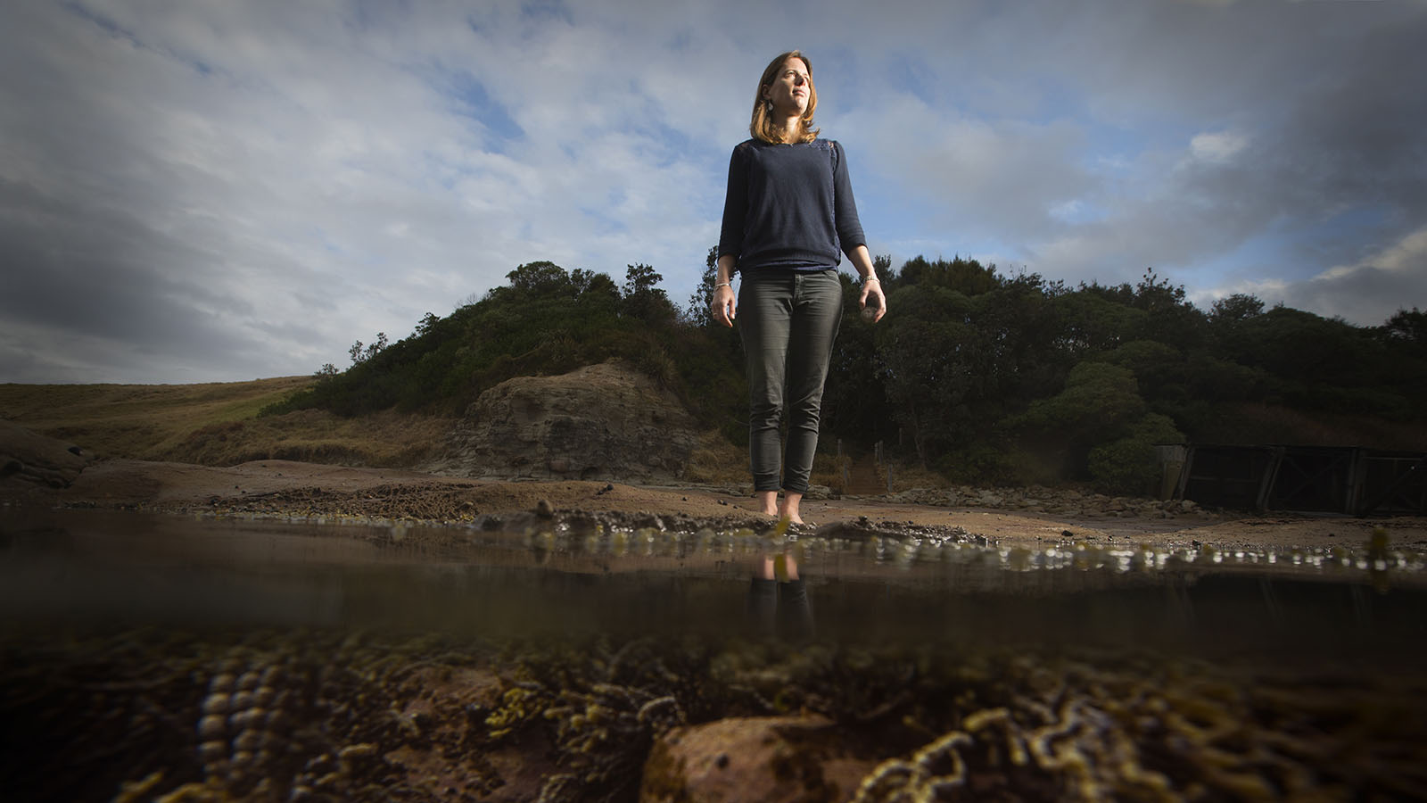
Her mapping work has helped establish marine protected areas and informed coastal management policy, while her research portfolio includes more than 100 scientific papers and several previous books on coastlines and mapping.
"As a coastal mapmaker, my job might involve sailing, scuba diving, making digital maps from drone images or developing spatial models. It's a magical combination of activities that never gets boring. Understanding the power wielded by maps brings an opportunity to think carefully about what I produce, and how it will be used. This enhances rather than diminishes my craft."
Australian environmentalist and author Natalie Kyriacou writes of Plotting the Oceans: "Sarah Hamylton deftly traces the work of those who dared to redraw the world's edges and weaves their stories with her own fierce, meticulous mapping, showing us how every chart carries a reckoning with the world we are remaking and how our technologies, choices and imagination are reshaping the seas."


