An international team led by researchers from the Universitat Autònoma de Barcelona and Aarhus University, Denmark, has published the most detailed and comprehensive open-access digital dataset of the entire Roman Empire's road system in the journal Scientific Data (Nature). The Itiner-e map nearly doubles the known length of Roman roads compiled so far in a single resource.
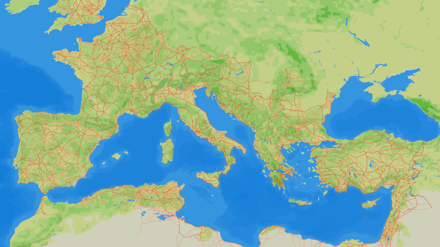
The dataset covers the empire at its maximum extent (ca. 150 CE), mapping nearly 300,000 km of routes and providing a new, transformative tool for understanding mobility, trade, and administration in the ancient world.
The Itiner-e project synthesises centuries of archaeological and historical research into a single, high-resolution digital map. The data set nearly doubles the length of Roman roads mapped in previous major digital resources, expanding the known network from 188,555 km to 299,171 km. This increase comes from greater coverage in under-documented regions and a higher spatial precision that traces winding mountain passes and natural corredors rather than simple straight lines.
The new map was created by systematically identifying roads from archaeological reports, historical sources like the Antonine Itinerary and Tabula Peutingeriana, milestones, and regional summaries. This information was then locaated using modern and historical topographic maps, satellite imagery, and other remote sensing data before being manually digitised.
"The extensive Itiner-e dataset is highly transformative for understanding how the Roman road system structured the movement of people, goods, ideas and even ancient pandemics", explain the project directors. "Its high resolution enables new computational studies of connectivity, transport costs and administrative control acros the vast territory, as well as research into the millennia-long development of terrestrial mobility in Europe, North Africa and the Near East", the researchers highlight.
The interdisciplinary, collaborative and constantly updated nature of the Itiner-e project makes it a space where all researchers can include data from their studies on Roman roads, while maintaining the authorship of that data. At the same time, it is a free, digital resource that has been made available to the scientific community and society as a whole.
The study is an international collaboration between researchers Pau de Soto and Adam Pažout of the Department of Ancient and Medieval History at the Universitat Autònoma de Barcelona, and Tom Brughmans of Aarhus University, Denmark. It can be found in the journal Scientific Data published by Nature.
Original article:
Pau de Soto, Adam Pažout, Tom Brughmans, et al. (2025). Itiner-e: a high-resolution data set of roads of the Roman Empire. Scientific Data. https://doi.org/10.1038/s41597-025-06140-z
Link to the interactive map:
Video:


