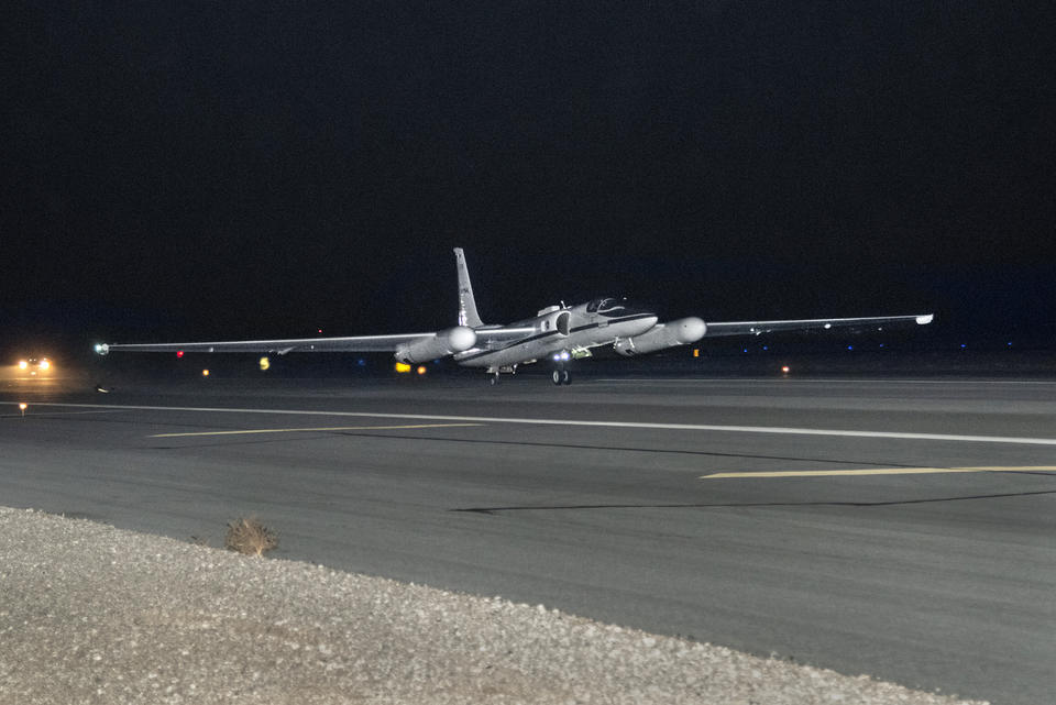
NASA's ER-2 taking off with the air-LUSI moonlight collection equipment on board.
NASA photo/Ken Ulbrich
Weather forecasting, mineral prospecting and farming all could improve from a trove of data the National Institute of Standards and Technology (NIST) recently gathered about moonlight, late at night and far above the clouds.
NIST's measurements of the Moon's brightness - 10 times more accurate than previously available data - are a valuable commodity for engineers, who can use the data to calibrate the visual sensors aboard Earth-observing satellites. Proper calibration can help ensure that these satellites are accurately recording the actual amounts and colors of light from the ground, water and vegetation far below. NIST obtained its new set of moonlight measurements by deploying its equipment on a high-altitude NASA aircraft.
"Our goal with this data release is to help the satellite industry develop better models of lunar irradiance," said Joe Rice, the NIST group leader for the project. "Using the data will help ensure that scientists have a more accurate understanding of what images of Earth from orbit actually mean."
Before a satellite can take reliable visuals of the planet, the satellite's sensors need to be calibrated to make sure they are recording accurate data. Without this vital step, a sensor might indicate that a swath of territory is a different shade or intensity of color than it really is, leading farmers or prospectors to base their decisions on the inaccuracy.
">


