How does alpine snow cover change throughout the year?
Snow generally covers higher elevations of the Australian alpine region from winter to mid spring.
Snowfall in lower elevations usually melts away after a day or two.
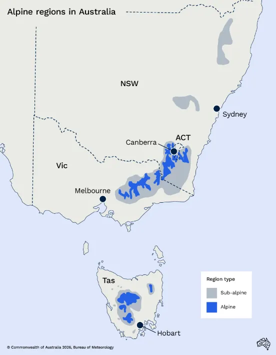
Alpine and sub-alpine regions in southeast Australia
Do you live in an alpine region or are heading off on a trip to the snow? It is now easier to view and monitor conditions via the Bureau's Alpine regions page.
Autumn
Snow during autumn is common, but usually melts shortly after. Early season snow is not a reliable indicator of frequent snowfall later in the year, nor a long ski season.
As the daylight hours get shorter during late autumn and into winter, the ground gets cooler.
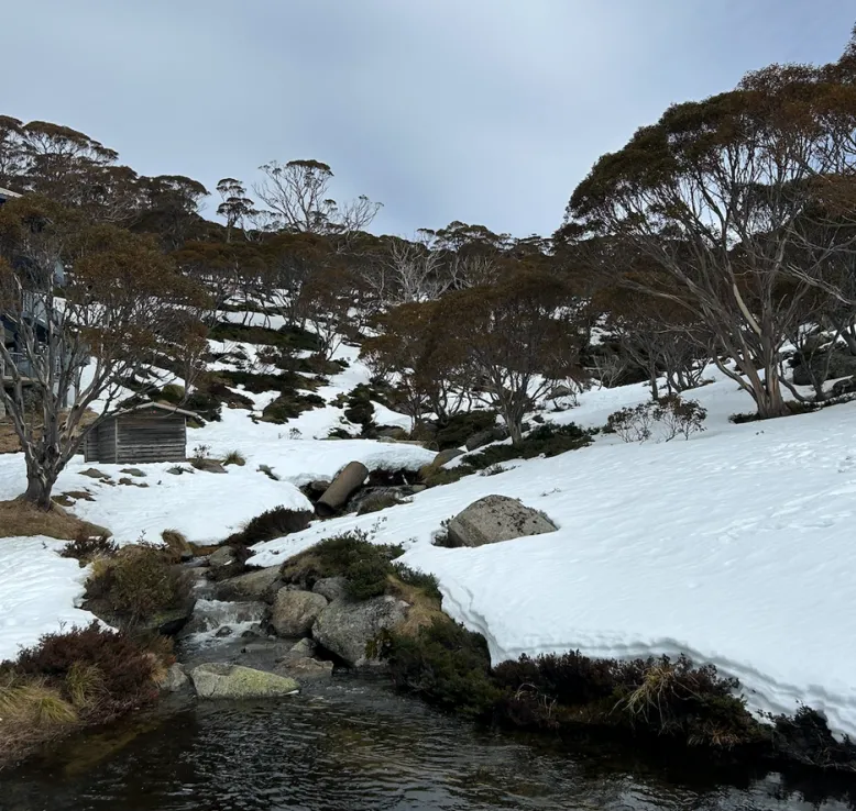
near White's River Hut, NSW, Casey McCarthy
Winter
Cold fronts and low pressure systems are the main weather systems that bring snow. Cooler winter temperatures mean snow becomes more likely when these weather systems move into southern Australia.
As snow falls during winter, it can accumulate on the cooler ground.
The individual variability of the strength, timing and frequency of these systems can have a huge bearing on the ski season.
Historically, from about mid-June, permanent snow starts to cover much of the mountain ranges:
• In southeast New South Wales and northeast Victoria to an altitude of about 1500 metres above sea level.
• In central Tasmania above about 1000 metres.
This is known as the snow line.
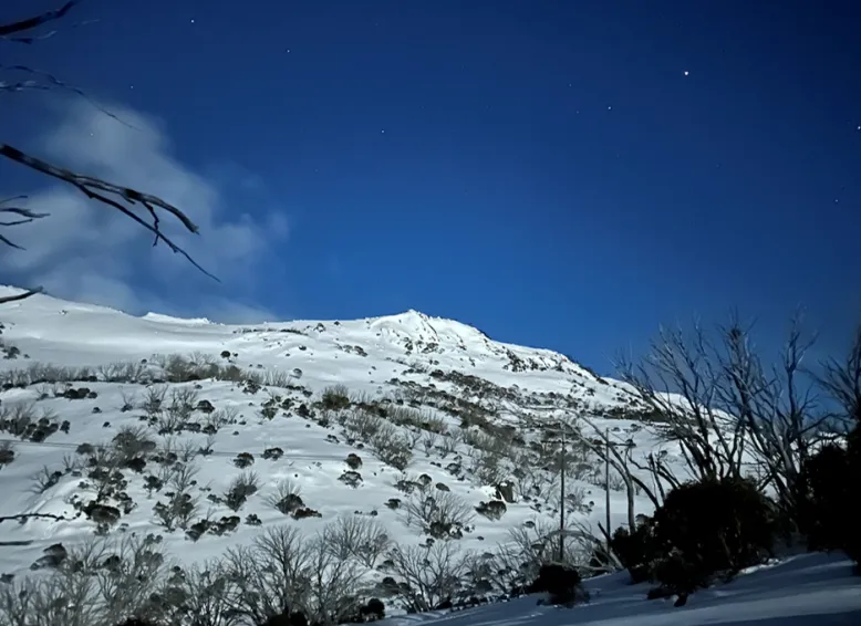
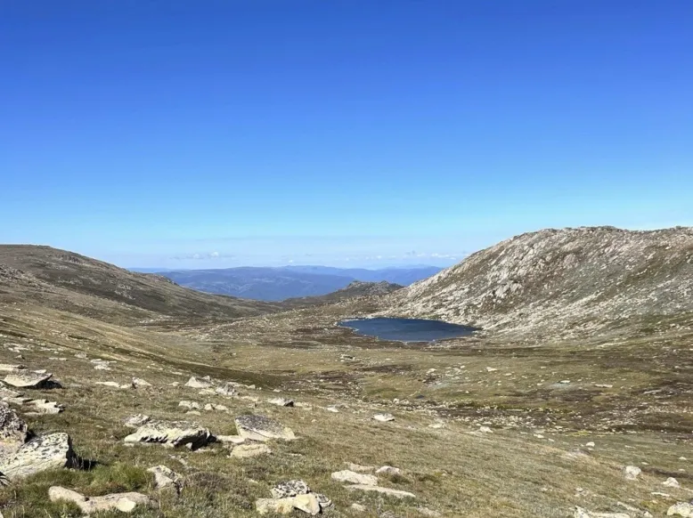
Jagunagal Winderness, NSW - Casey McCarthy
The accumulated effect of snowfall during winter means the season's peak snow depth is usually reached during August or September.
Spring
Spring often begins with considerable snow depth, but also the onset of its melting with the warmer weather.
Longer daylight hours and warmer temperatures generally result in marked change to the snow cover by about mid-October on the mainland. The ski resorts usually aim to stay operational until early October.
This same change usually occurs slightly later in Tasmania.
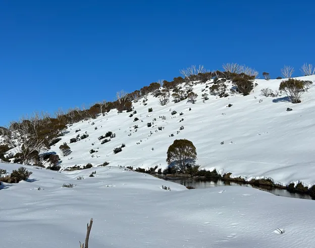
Charlotte Pass, NSW - Casey McCarthy
Rain, or a period without snow and/or warmer, drier winds can expedite the spring snow melt. This can also melt snow cover in between snowfalls during winter.
Summer
Some shaded or sheltered south-facing slopes retain snowy patches persisting into late spring or even early to mid-summer.
Snowfall is possible during summer but melts shortly after.
The mountains become mostly bare during summer and into autumn.
Lake Cootapatamba, NSW, Australia's highest glacial lake (elevation 2,048 m) - Casey McCarthy
Measuring snow cover
Reliable snow depths have been measured at Spencers Creek in New South Wales and Rocky Valley Dam in Victoria for several decades.
Snow depth refers to the accumulated snow to a certain moment. It is measured sporadically throughout the season. The Bureau does not measure this.
This data describes the duration of snow cover across higher alpine regions over the year. It also shows the maximum snow depth reached each year. This helps Bureau climatologists to determine the year-to-year trends.
These measurements also account for any associated melting in between snowfalls.
Therefore, this does not necessarily measure the snowfall from individual snow-bearing systems. These systems usually bring snowfall over the 1-3 day timescale.
The Bureau maintains observing sites at most alpine centres, but the gauges only measure rainfall. A rough conversion of 1mm of rain is equal to 1cm of snow is sometimes applicable. Although, snow showers can fall mixed with rain at times.
A short-term weather system or pattern bringing 50-100cm of snow could be considered heavy snowfall in Australia.
How is a warming climate affecting Australia's snowfall and cover?
The latest State of the Climate Report shows maximum snow depth, snow cover and number of snow days have all decreased in Australian alpine regions since the late 1950s
At high elevations, the proportion of rain falling as snow has decreased in recent decades.
However, maximum yearly snow depth remains highly variable and is strongly influenced by rare heavy snowfall days, which have no observed trends in frequency.
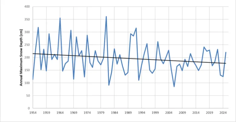
Annual maximum snow depths at Spencers Creek, NSW (1954-2022), with a linear trend line shown. Data: SnowyHydro
These declines are associated with warming temperatures and a decline in cool season precipitation.
Peak snow depths have been decreasing by 0.7 cm/year and 0.6 cm/year respectively at Spencers Creek (NSW) and Rocky Valley Dam (Victoria).
You may also be interested in: What to look for in snow forecasts this winter


