Under the verdant and steamy jungle canopy lie the remnants of a nearly forgotten battle and, somewhere, 23 U.S. servicemen who never made it home.
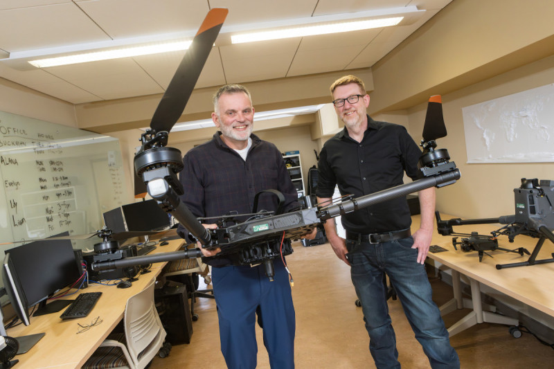
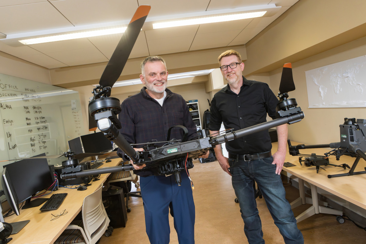
Binghamton University Anthropology Professor Carl Lipo and Geography Professor Thomas Pingel are doing the groundwork to find them - from the sky, courtesy of drone-mounted LiDAR.
This spring, they headed to New Georgia Island, a part of the Solomon Islands. This is the third expedition they've undertaken in partnership with the Defense POW/MIA Accounting Agency (DPAA) in the hopes of locating servicemembers lost in World War II's Pacific Theater. Their first project took place at the Gifu strongpoint in Guadalcanal, followed by another battlefield exploration in Guam, the site of an American base captured by the Japanese and then retaken.
"New Georgia is really off the beaten path," Pingel says. "It's basically untouched; there is some logging in the area and a few scattered houses, but the battlefield is mostly intact."
Japanese forces established air bases throughout the Pacific Islands, using them to launch attacks throughout the region. On New Georgia, they established an airstrip near the village of Munda; the Japanese used a spot along Bairoko Harbor to drop off supplies, which they then ferried south to the airstrip.
During July 1943, U.S. Marines sought to cut off the Japanese supply line, allowing the Americans to claim the base. Conditions were difficult, even during the dry season; where the land isn't jungle, it's swamp or lagoon. While infantry regiments formed roadblocks to hem in Japanese troops, Marine Raiders attacked Bairoko Harbor; heavy fire then forced the Marines to withdraw to Enogai Inlet, where they established defensive positions. Ultimately, American forces took the airfield and the Japanese began to withdraw from the island in late August.
"We know the battle happened, but exactly how the losses took place is a puzzle," Lipo explains. "How do we figure out what happened on the actual landscape?"
AI and LiDAR
During their expeditions to Guadalcanal and Guam, Lipo and Pingel honed their research process, which involves a combination of LiDAR surveys, field archaeology, and the use of artificial intelligence (AI).
To prepare, they studied documentation from the July 1943 battles and used AI to process and organize primary, secondary, and tertiary accounts of military operations, including after-action reports from commanders and hand-drawn maps. Aiding in the effort was undergraduate geography major Lily Burstein, who helped digitize old historical maps and reconstruct the daily battlefield positions of units from the time of their landing all the way to the Battle of Bairoko.
Their preparations allowed them to create a "probability map" of where patrols were moving on the landscape before they even reached the island.
Once on New Georgia, they conducted LiDAR surveys on a one-square-kilometer area on Dragon's Peninsula, the site of one of the largest battles in the campaign. Local partner Kahuto Pacific provided the drone, which flew a total of 25 data collection flights; archaeologists from the International Archaeology Research Institute, Inc. (IARII) served as the ground team, investigating their findings on foot.
LiDAR is an acronym for light detection and ranging; it uses a pulsed laser that reflects off the ground below, generating three-dimensional images of the topography. Flying a tight, systematic pattern over an area allows the technology to penetrate even dense jungle.
"The goal is to find the stuff on the forest floor, especially trails, foxholes, machine gun placements, and signs in the landscape that would indicate something had happened there. And it worked," Pingel says.
Slowly, a picture began to emerge of where the opposing forces were stationed and how they may have moved.
Underneath the trees are remnants of barbed wire fences that once surrounded a machine gun, matching up with historical data on troop whereabouts. One account that described a landscape with four parallel ridges proved to be incorrect; the LiDAR showed a single large ridge, and an AI search revealed the faulty description came from a tertiary account that mistook the number of defensive lines for a geological feature.
"It's fascinating how intact this is. While there have been changes, you can see Japanese food canisters and cans and gas masks, and there are grenades and mortars still there," Lipo says. "You can see these gigantic bomb craters, and there are bits and pieces of the bomb."
Battlefield burials
Through their data collection, Lipo and Pingel were able to pinpoint spots for future magnetometry surveys or excavations, which may ultimately help the DPAA bring the missing men home.
But work remains to be done. The extent of the battlefield is unknown; future expeditions will explore the placement of the southern defensive lines, as well as those to the east and west.
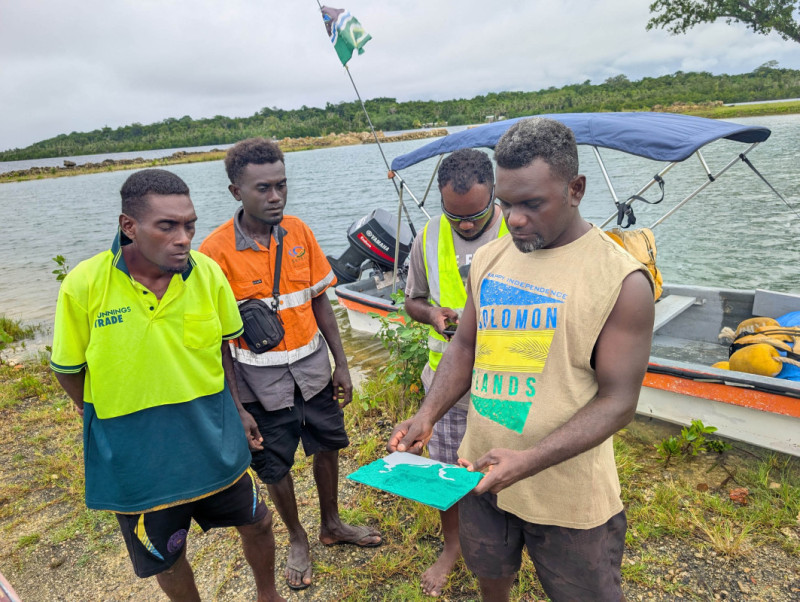
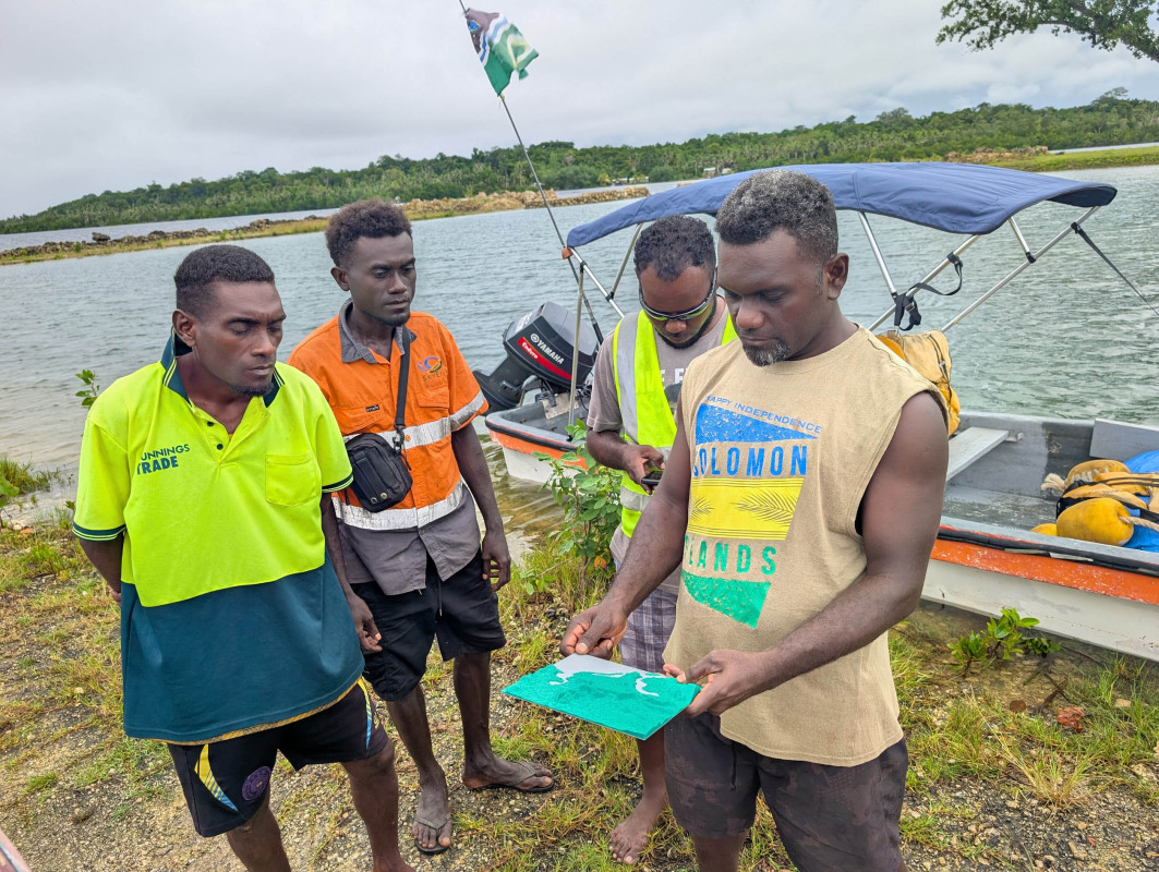
"There were four defensive lines, and the losses were largely between the third and fourth," Lipo explains. "In other words, the Americans were able to take some of the defensive lines but were pushed back at the last ones. Because of the heavy fire, they had to retreat and leave the bodies behind. Knowing the extent of the battlefield is critical."
Sometimes, patrols buried the bodies of their fallen brothers as they traveled through the landscape, often forming mounds. Using LiDAR to reveal those paths may aid the discovery of battlefield burials.
In the meantime, the researchers continue to analyze the data for insight on possible burial locations, as well as the line of fire surrounding machine gun positions.
"We can then understand the places they would be covering, especially where there is crossfire from two different positions, which would be especially deadly for any American to press on," Pingel says.
They also hope to make a future expedition in July, the time of year when the battle took place. Travel paths and burials may become more evident when the swamplands are drier.
"What I love about this is that it brings together archaeologists and geographers and AI in this really cool way," Lipo reflects. "This is something we do at Binghamton that's unique and could be transformative."