A new European Space Agency (ESA) mission involving UCL researchers will 3D map Earth's "cooling blanket" of low-lying ocean clouds that may be at risk of disappearing due to climate change.
The 10th Earth Explorer mission, known as Harmony, has been approved by the ESA Programme Board on Earth Observation, meaning it can move from the preparatory phase into the design consolidation and implementation phase, with a launch scheduled for 2029.
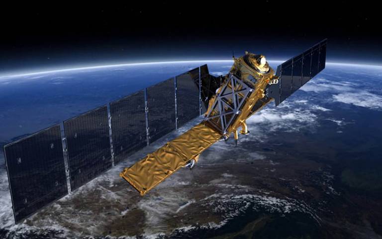
The mission consists of two identical satellites that will fly in tandem alongside a Copernicus Sentinel-1 satellite to better understand three areas of Earth's interconnecting systems: the ocean-atmosphere interface, land ice and sea ice (how they are distorting over time) and tectonic strain and volcanic processes.
The two satellites will carry a thermal infrared instrument, based on a proposal from UCL's Professor Jan-Peter Muller, that will work together to 3D map the motion of low-lying ocean clouds in finer detail than previously possible.
The differing angles of the ten infrared cameras within each instrument, and different perspective offered by the two Harmony satellites spaced hundreds of kilometres apart but directed at the same patch of the Earth's surface, will provide stereo imaging, enabling scientists to calculate cloud top height as well as motion (and therefore wind).
When there are no clouds, the beams will travel to the ocean and be used to calculate a crucial factor affecting the interaction of clouds and ocean - sea surface temperature.
Professor Muller (UCL Mullard Space Science Laboratory), a member of Harmony's Mission Advisory Group, said: "These clouds cover vast areas of the ocean and cool the planet by reflecting light, and therefore allowing heat back into space. But how they will respond to climate change is unclear. One model suggests a warming ocean will lead them to disappear - with catastrophic consequences for our climate."
"This mission will provide a sub-kilometre resolution imaging of the movement of the clouds, rather than a resolution of tens of kilometres as achieved previously."
"Current climate change forecasts do not account for clouds because of their complexity, as they are dependent on so many small- and large-scale factors. By having a much finer level of detail about the processes that lead to different cloud types, our data will help refine mathematical models of how these clouds behave and whether they could speed up or - as some models have suggested - even slow down global warming."


