
Two new reports from NASA's Commercial Satellite Data Acquisition (CSDA) program evaluate data from the Umbra X-band Synthetic Aperture Radar (SAR) satellite constellation for the NASA Earth science research and applications community. The results of these evaluations help to inform NASA program management and the user community about the quality of these commercial data for use in NASA science.
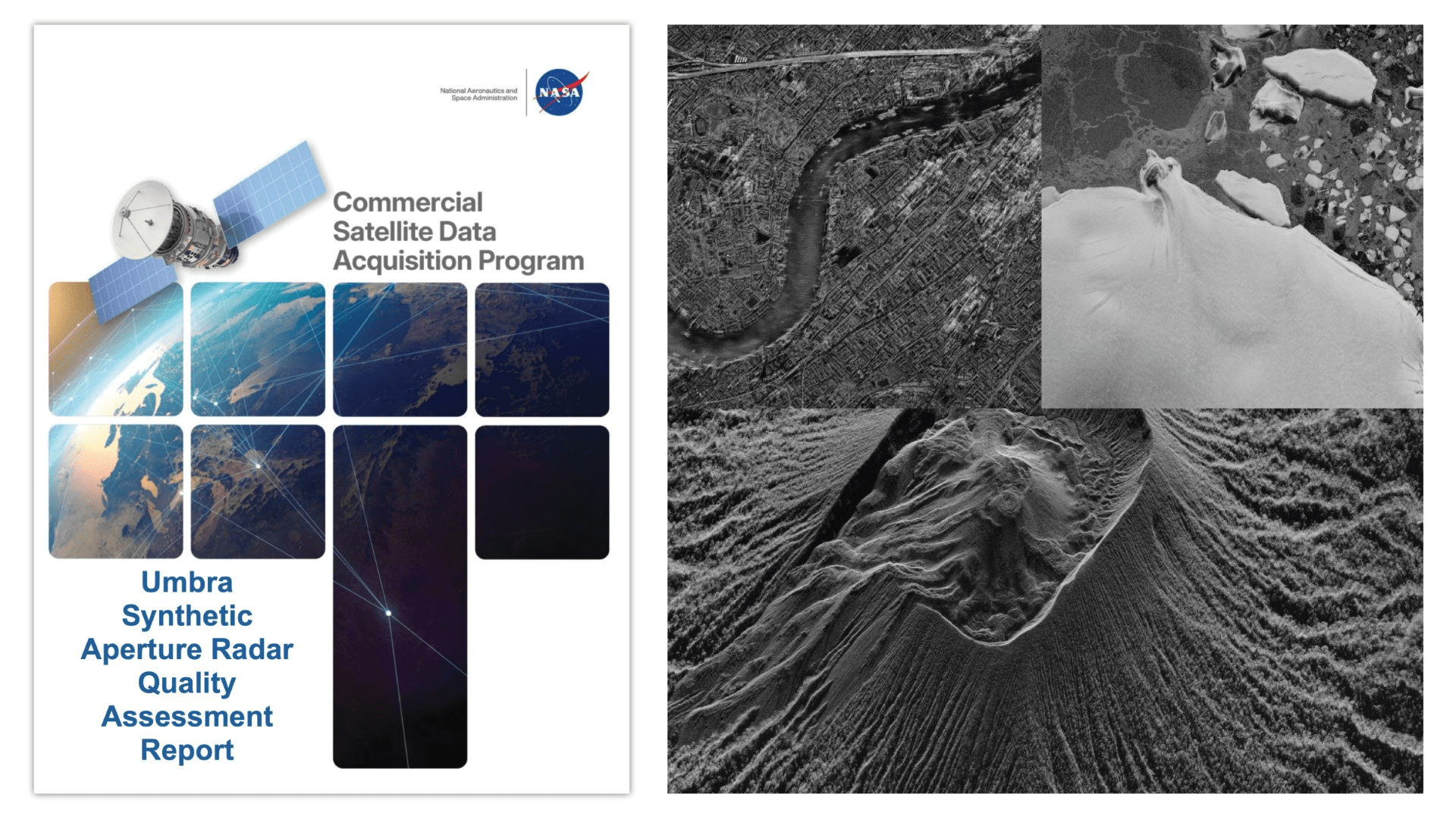
The CSDA Umbra Synthetic Aperture Radar Umbra SAR Principal Investigator Evaluation Summary documents the findings of evaluation teams. The teams were given access to the Umbra archive as well as the ability to task the Umbra constellation for new acquisitions. The tasking capability allowed evaluation teams to test the utility of Umbra data in time-sensitive workflows and to monitor areas experiencing rapid change and/or emergent environmental conditions, such as harmful algal blooms.
Although the Principal Investigator Evaluation Summary supports the use of Umbra SAR data for NASA Earth science research and applications overall, it noted several strengths and weaknesses of the Umbra X-band data. Strengths included access to a very high spatial resolution X-band SAR satellite constellation; taskable access to high temporal repeat opportunities with quick turnaround; imaging flexibility with a range of azimuth and incidence angles; and the company's Open Data Program. Conversely, the PI teams reported weaknesses, including issues with Umbra geolocation (noting large and small geolocation errors), limited software compatibility, metadata, and some missing technical documentation.
Additionally, the CSDA Umbra Synthetic Aperture Radar Umbra SAR Quality Assessment Report documents the results of radiometric and geometric analyses performed by NASA subject matter experts (SMEs) enlisted to evaluate the fundamental quality of the Umbra data following the Joint NASA/European Space Agency (ESA) assessment guidelines (ESA-NASA, 2024).
Performed mainly on the single-look complex (SLC) Level 1 data products in Sensor Independent Complex Data (SICD) format, along with some additional Level 2 products used in science usability assessments by the evaluation team, the CSDA SMEs found the spatial resolution of the data agreed with Umbra's specifications. However, the quality analysis results for geolocation accuracy did not universally align with the company's specifications. Given these results, the SME's concluded that "the overall positioning performance of the Umbra data did not meet the expected accuracy.
Regarding the radiometric performance of the data, which was assessed in terms of absolute accuracy, stability, and sensitivity, the SMEs found the data "underperform[ed] relative to that of well-calibrated reference SAR systems."
About the CSDA Program
The CSDA program was established to identify, evaluate, and acquire data from commercial sources that support the NASA Earth science research and application goals. NASA's Earth Science Division recognizes the potential impact commercial satellite constellations may have in encouraging/enabling efficient approaches to advancing Earth System Science and applications development for societal benefit. Commercially acquired data may also provide a cost-effective means to augment and/or complement the suite of Earth observations acquired by NASA, other U.S. government agencies, and international partners.
To read the reports in full, see the links under "Evaluation" heading on the CSDA's Umbra commercial vendor webpage.


