An international study led by researchers at The University of New Mexico has produced the first detailed images of the Queen Charlotte fault system off the coast of northern British Columbia, confirming that the region is capable of generating powerful megathrust earthquakes and tsunamis.
The findings, published July 18 in Science Advances, offer the most conclusive evidence to date that the Pacific Plate is partially colliding with and subducting beneath the North American Plate in the Haida Gwaii region—revealing a fault zone with the potential to produce catastrophic seismic events.

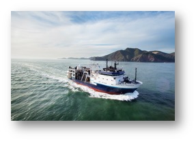
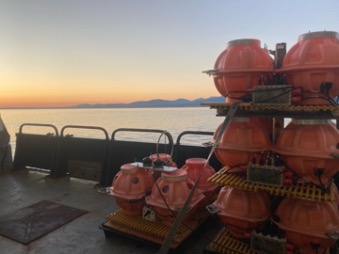
The study was co-led by UNM Earth and Planetary Sciences Professor Lindsay Worthington and UNM Ph.D. graduate Collin Brandl, in collaboration with researchers from U.S. and Canadian institutions. The team used a state-of-the-art 15-kilometer hydrophone streamer equipped with thousands of underwater microphones to map the deep structure of the ocean floor.
"We use tools that are similar to a medical X-ray or sonogram to image the Earth up to 10-20 miles below the surface. I'm always astounded by the detail of the images and our ability to interpret individual fault zones," said Worthington.

The Queen Charlotte fault system is Canada's largest seismic hazard and was the site of the country's largest recorded earthquake—a magnitude 8.1 event—in 1949. Until now, however, the underlying structure of the fault zone remained poorly understood.
"The Queen Charlotte fault can be considered the San Andreas of the north—it's the same type of fault and just as active. Because of its offshore location, we can use these sea-based tools to zipper up and down its length, providing detailed regional imaging that is not often possible with structures onshore," Worthington explained.
The study highlights the importance of cross-border scientific collaboration and advanced geophysical tools in enhancing earthquake preparedness and risk assessment. The team collected data during a marine research expedition funded by the U.S. National Science Foundation and Natural Resources Canada.
"This work was a very fruitful collaboration between US and Canada-based scientists and a good lesson in sharing resources and logistical contacts for a successful expedition," concluded Worthington.
The research not only enhances knowledge of a key tectonic boundary but also provides vital information that can support emergency planning efforts along the Pacific Northwest coast.
Top image caption: Airguns trailing behind the research ship, R/V Langseth, offshore southeast Alaska, July 2021.


