A research team led by Waterloo Engineering has developed a faster, cheaper way to create large-scale, three-dimensional (3D) computer models of urban areas, technology that could impact fields including urban planning, architectural design and filmmaking.
The system can generate 3D models of entire cities using only 2D aerial photographs, automating a time-consuming manual process that previously required specially trained 3D artists and computer graphics programs.
"Think about all the time and labour involved in manually creating a digital 3D model of New York City for a new Spiderman movie," said Kyle Gao, a PhD student in systems design engineering.
"With our system, it can be done using a few hundred aerial images - satellite images from Google Earth, for example - to train the model for a couple of hours in an automated process."
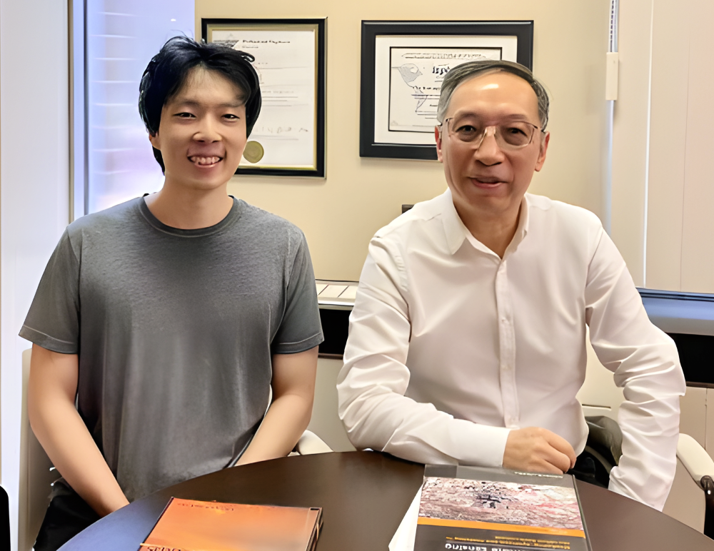
Engineering doctoral student Kyle Gao (l) is supervised by Dr. Jonathan Li.
The technology is built upon a method known as Gaussian Splatting, which uses millions of tiny ellipsoids, each with their own colour and lighting detail, to automatically create 3D digital assets out of 2D aerial photographs.
"In the same way the human body is made up of tiny atoms, large-scale 3D objects are built from small 3D geometric ellipsoids," said Gao. "Or you can imagine blobs of ink getting 'splatted' onto a 2D image."
The technology is particularly well-suited to the production of computer-generated images and computer-generated graphics, including fast, photographic-quality images of urban environments.
Gao said an urban planner could use it to create 3D digital models of a neighbourhood to help study a development proposal or generate impressive fly-through video of the area to give residents at a public meeting an immersive look at the plan.
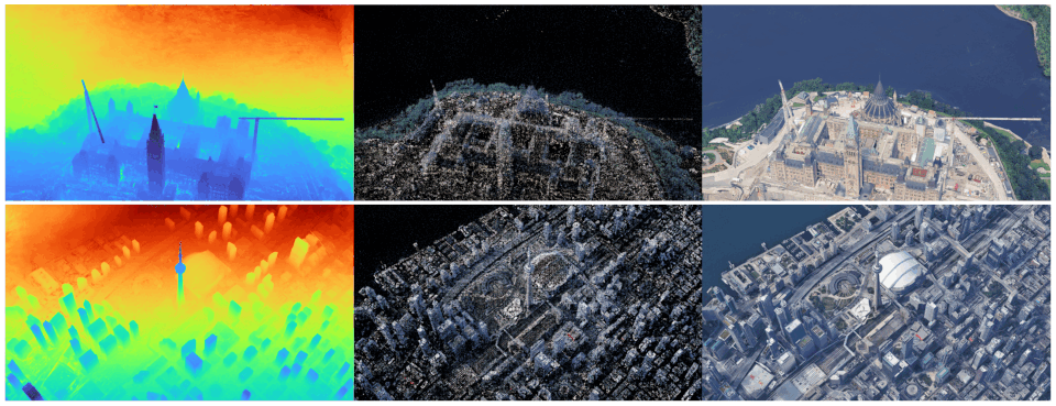
Researchers developed technology to create 3D computer models using only 2D aerial photographs.
Architects could use the technology to visualize and obtain measurements of buildings near a new project without leaving their desks or create a 3D model of an existing building as the starting point for design work.
The multidisciplinary research team, which included members from the engineering and environment faculties at the University Waterloo, and Jimei University in China, is now considering commercialization possibilities and exploring the addition of data analysis capabilities to the system using geospatial artificial intelligence (AI).
"We are examining areas including traffic analysis, solar potential and electricity cost analysis, air quality analysis and weather forecasting," Gao said. "We're eager to find out what this can and can't do."
Gao is supervised by Dr. Jonathan Li, a cross-appointed professor of systems design engineering, and geography and environmental management, and the director of the Geospatial Intelligence and Mapping (GIM) Lab at Waterloo.
A paper on the research, Enhanced 3D Scene Reconstruction and Point Cloud Densification using Gaussian Splatting and Google Earth Imagery, appeared in IEEE Transactions on Geoscience and Remote Sensing.


