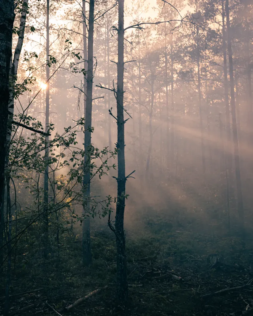
Researchers at Lund University have produced the most detailed map of carbon emissions from Swedish forest fires to date. The results show that the largest emissions occur below the ground surface, in peat and organic soils.
During the extremely hot summer of 2018, 324 forest fires were reported in Sweden. Using field measurements, models, and data from the Swedish Forest Agency, the Swedish Environmental Protection Agency, and the Swedish Meteorological and Hydrological Institute, researchers have now mapped where and why the carbon was released.
The study shows that emissions from intense above‑ground fires are overestimated in fire databases. Emissions from deep organic soils and peatlands, on the other hand, are underestimated - during the summer of 2018 by as much as 50 percent. These smoldering underground fires are rarely visible in satellite images, but can release very large amounts of carbon.
"What looks dramatic from above is not always what affects the climate the most. The significantly large emissions actually occur silently underground," says Johan A. Eckdahl, forest fire researcher at Lund University and the University of California, Berkeley.
In boreal forests - the coniferous forest region that stretches around the Northern Hemisphere - more carbon is stored than exists in the atmosphere today. A large portion is found in deep peat soils that have built up over thousands of years. When these soils dry out and ignite, they can continue to burn below the surface for long periods. This means that traditional methods used in today's fire databases, which rely on the size of the burning area, smoke density, and visible fire intensity, risk missing a crucial part of forest fires' climate impact.
A telling example is the comparison between the 2018 year of fires and the 2014 forest fire in Sala, Sweden. Despite the total burned area being much larger in 2018, the results show that the Sala fire alone released roughly as much carbon as all 324 fires in 2018 combined.
"What matters is where it burns. A fire in deep peat soils can have a greater climate impact than hundreds of more intense fires on land with thin soil layers," says Johan A. Eckdahl.
The study also provides new perspectives on forestry and land use. The high‑resolution maps show certain patterns suggesting that recently clear‑felled areas could serve as pathways for fire to spread into older, carbon‑rich forests and wetlands. The researchers also conclude that population density plays an important role in enabling early containment of high‑intensity fires. There were also some indications that early firefighting efforts and active forest management can reduce fire damage.
The researchers believe that the findings have relevance far beyond Sweden's borders. If emissions have been underestimated during a Swedish year of fires of the scale seen in 2018, it raises the question of how large emissions may have been during recent extreme fires in North America and Siberia in 2021. In the latter case, adequate baseline data is lacking, making it difficult to calibrate satellites and models.
Publication:
Link to the article in Science Advances:


