
Researchers have shown how dramatic sea level rise, over a 5,000 year period, profoundly changed the coasts of northern Italy, Slovenia and northern Croatia.
Successive shaping and reshaping of coastal features influenced the lives of Mesolithic and Neolithic people, and the development of local communities. Land once roamed by hunter-gathers and later tended by farmers, now lies deep beneath the sea.
Led by the University of Southampton, UK with the National Institute of Oceanography and Applied Geophysics (OGS), Italy, the study reconstructs the evolution of the region's landscape between 9,000 and 4,000 BC.
It shows how, over millennia, staggered rises in sea level - at times up to 25 millimetres per year - transformed the landscape and progressively submerged plains to create wetlands and lagoons. As the sea rose, pushing inland, it swallowed up features it had previously formed, shaped new ones, and eventually formed the origins of the coast we see today.
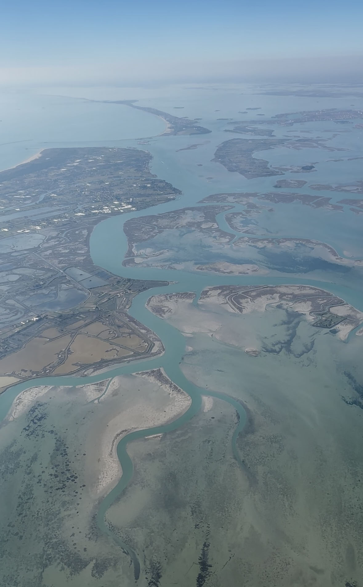
The present-day Venice Lagoon, famous for its island city built on marshy, muddy ground, was once dry land that lay kilometres from coast. The same can be said of other towns in the lagoons further east, such as Grado, and even present day coastal cities like Trieste would once have been located in hills overlooking swamps and lagoons below.
The study findings are published in the journal Quaternary Science Reviews .
Archaeologist Samuele Ongaro, lead author and PhD researcher at the University of Southampton, says "Submerged landscapes are an important missing piece in the study of prehistory, especially in the Northern Adriatic. They hold many secrets about how our ancestors lived and how they were connected to the land.
"The results of this research allow us to reconstruct these lost landscapes, what environments they hosted, how they changed over time, and what significance they might have held for prehistoric populations - a fundamental step for future archaeological research in the area."
The researchers combined existing data from the analysis of sediment cores with new, high-resolution geophysical data from OGS. By identifying different types of sediments, and modelling successive flooding, the team revealed the backward shifting of coastal barriers (deposits parallel to the shore) and back-barrier systems (the marshy areas beyond).
Different stages across the 5,000 year timeline include:
- A rapid rise in sea level around 8,400 BC, creating tidal channels, marshes, sandbanks and large lagoons - followed by a more stable phase.
- A large rise for a total of eight metres in the 1,200 years to 6,600 BC, with the sea repeatedly creating, subsuming, and recreating lagoons and marshes - pushing kilometres inland.
- A major rise of up to five metres post 6,000 BC, again shifting coastal features.
- The formation, post 5,800 BC, of the origins of the lagoons and landscape we see today.
The findings highlight the constantly changing environment that Mesolithic hunter-gatherers had to cope with, altering habitats, resources and the availability of food, such as plants, fish and animal prey.
The team hope further study will reveal more about how communities shifted activities in response to coastal flooding and how eventually this affected the advent of farming in the region by Neolithic people.
"The variety of coastal environments - lagoons, river deltas, marshes and swamps - would have been an attractive landscape for foragers and hunters, but the flat nature of the landscape also made it prone to significant land loss. Communities were forced to adapt over time, choosing where to hunt, fish, and settle," comments Samuele Ongaro.
Dr Federica Donda, a marine geologist from the Geophysics section of OGS and co-author of the paper, comments: "This study demonstrates how integrating geological and geophysical data makes it possible to reconstruct the environmental evolution of areas that are now submerged, while highlighting how the seabed is an integral part of our archaeological heritage.
"A significant portion of the areas frequented by ancient populations is now underwater, and their history and evolution cannot be understood through terrestrial archaeology alone."
The paper highlights the potential of paleogeographic reconstructions for studying the evolution of past societies, returning to archaeological research a piece of territory that is no longer visible today, but which for thousands of years was part of the European landscape.


