NASA scientists have developed an artificial intelligence tool to take on a longstanding challenge in ocean waters. In a study recently published in AGU Earth and Space Science, researchers reported the tool was able to fuse data from multiple satellites and detect harmful algal blooms that occurred in western Florida and Southern California.
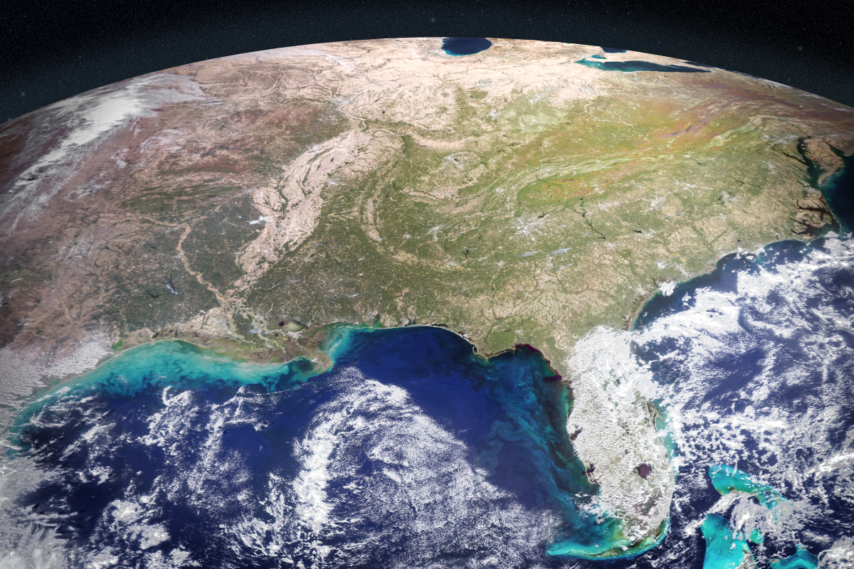
Severe blooms can pose health risks and cost coastal economies in the United States tens of millions of dollars every year. Areas in Florida such as Tampa Bay and Sarasota have wrestled with the problem for decades. A species called Karenia brevis can thrive in Gulf of America waters, spawning harmful algal blooms that kill wildlife, foul beaches, and sicken swimmers. On the West Coast, blooms of Pseudo-nitzschia have poisoned hundreds of dolphins, California sea lions, and other marine animals in recent years. Toxins from algaecan even enter the air and cause respiratory illness in humans.
To manage the risk, health agencies regularly test waters and issue warnings or beach closures when necessary. The National Oceanic and Atmospheric Administration (NOAA) works with states and other local partners to issue harmful algal bloom forecasts, like weather forecasts, during bloom seasons.
On-site testing requires hours in a boat to manually collect water samples that must be sent to a lab for analysis, taking a day or more and requiring multiple tests. It's even more challenging to know where to test before a bloom starts spreading.
NASA's Earth-orbiting satellites already track harmful algal blooms with their unique global view. By bringing together diverse datasets, the new AI tool could serve as a force multiplier to help communities determine where to focus their efforts.
"At the very least, a tool like this can help us know where and when to collect water samples as an algal bloom is starting," said one of the paper's coauthors, Michelle Gierach, a scientist at NASA's Jet Propulsion Laboratory in Southern California. "It can also drive collaboration between specialists, fostering new ways to conduct the science and deliver decision-support products."
Today, satellites can detect a variety of clues that signal an algal bloom. A hyperspectral sensor aboard NASA's Plankton, Aerosol, Cloud, ocean Ecosystem (PACE) satellite, for example, can identify algal communities by their size, shape, and pigment. Other instruments like TROPOMI (Tropospheric Monitoring Instrument) pick up on the faint red glow emitted by species such as K. brevis as they photosynthesize.
The study team, consisting of Gierach, Kelly Luis of NASA JPL, and research data scientist Nick LaHaye of Spatial Informatics Group, brought together findings from five space missions or instruments, including PACE and TROPOMI.
The challenge for them was the quantity of raw data involved. How would AI distinguish between deep water and a coastline? Could it recognize a bloom across different data streams? Would it ever be able to handle inputs from both satellites and sensors in the water?
The team developed a self-supervised machine learning system, designed to learn patterns from multiple kinds of satellite data and compare them with field observations. This approach enables AI to recognize relationships between different data sources without needing any labeling in advance.
The system was trained on satellite data collected in 2018 and 2019. Field and lab measurements were then used to add real-world context to the patterns that the system was recognizing. The scientists evaluated the tool's performance across later time periods in the same geographic areas. Initial results indicate that it can correctly identify and map harmful blooms, including specific species like K. brevis, performing well even in complex coastal waters swirling with sediment, plants, and runoff.
"Applying self-supervised AI to massive streams of satellite data is rapidly becoming a powerful tool for generating actionable ocean intelligence," said Nadya Vinogradova Shiffer, lead program scientist at NASA Headquarters in Washington.
The team is now improving the tool with more data from more coastlines and expanding tests to other kinds of water bodies, including lakes, with the goal of making it accessible to decision-makers in coming years.
"The aim of this work is to start to bridge technologies to better serve end users and their needs, from aquaculture to tourism," Luis said. "To do that, we're going to bring all our NASA assets to the table."


